
What is recorded here
Situated on a low-lying level landscape with the canalised NNE-SSW Ballycarron River immediately to the E. The cropmark of a circular enclosure (diam. c. 80m N-S) defined by a single fosse feature and backing onto the stream is visible on Google Earth (24/06/2018). It was first reported to the National Monuments Service by Anthony Murphy.
Compiled by: Michael Moore
Date of upload: 20 February 2019
A local fairy fort (ringfort/rath); wider significance not recorded.
The monument record does not grant public access. Check the route and ask the landowner before entering private land.
- What survives
- Recorded monument
Places near here
 Cross in Cloncurry (ikeathy & Oughterany By., Cloncurry Ed)Cross · 1136 yd
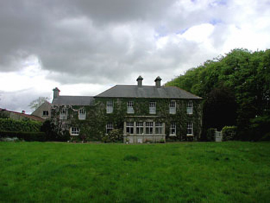 Ballyvoneen Househouse · 1146 yd
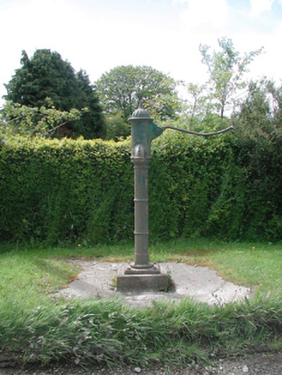 water pumpwater pump · 1156 yd
 Grave YardGraveyard · 1250 yd
 Cloncurry GraveyardHeritage attraction · 1268 yd
 European ashEuropean ash · 1279 yd
 Cloncurry MoatCastle, motte · 1280 yd
 Site of Dunfierth CastleCastle, unclassified · 1.7 mi
 Old Bog Road made famous by Teresa Bryton 1868-1943Memorial · 1.9 mi
 The Grill ShackHeritage attraction · 3.7 mi
 Wych ElmWych Elm · 4.6 mi
 9/11 MemorialMemorial · 4.9 mi
Other information
Photo: Credit not shown in the picture search · Rights wording not checked; contact us if this picture should be removed