What is recorded here
Situated on a shelf with a small SW-NE valley c. 70m to the SW and a bend in the W-E Boro River at its most southerly point is c. 250m to the N. The parish church of Kilcowanmore (WX031-007001-) is within a subrectangular raised graveyard (dims. c. 70m E-W; c. 45m N-S) defined by a stone-faced scarp and hedge, which is bordered by a N-S road and its bank at W. A fragment of a small granite cross (WX031-002003-) and a medieval graveslab (WX031-007004-) were recorded in the graveyard in 1987 but cannot be found now. St Cowan's Well (WX031-008----) is c. 80m to the SW.
Compiled by: Michael Moore
Date of upload: 27/08/2012
The monument record does not grant public access. Check the route and ask the landowner before entering private land.
- What survives
- Recorded monument
Places near here
 Church (in ruins)Church · 11 yd
 St. Cowans WellHoly well · 102 yd
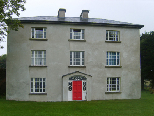 Ballybrennan Housefarm house · 346 yd
 (Site of) CastleCastle, unclassified · 693 yd
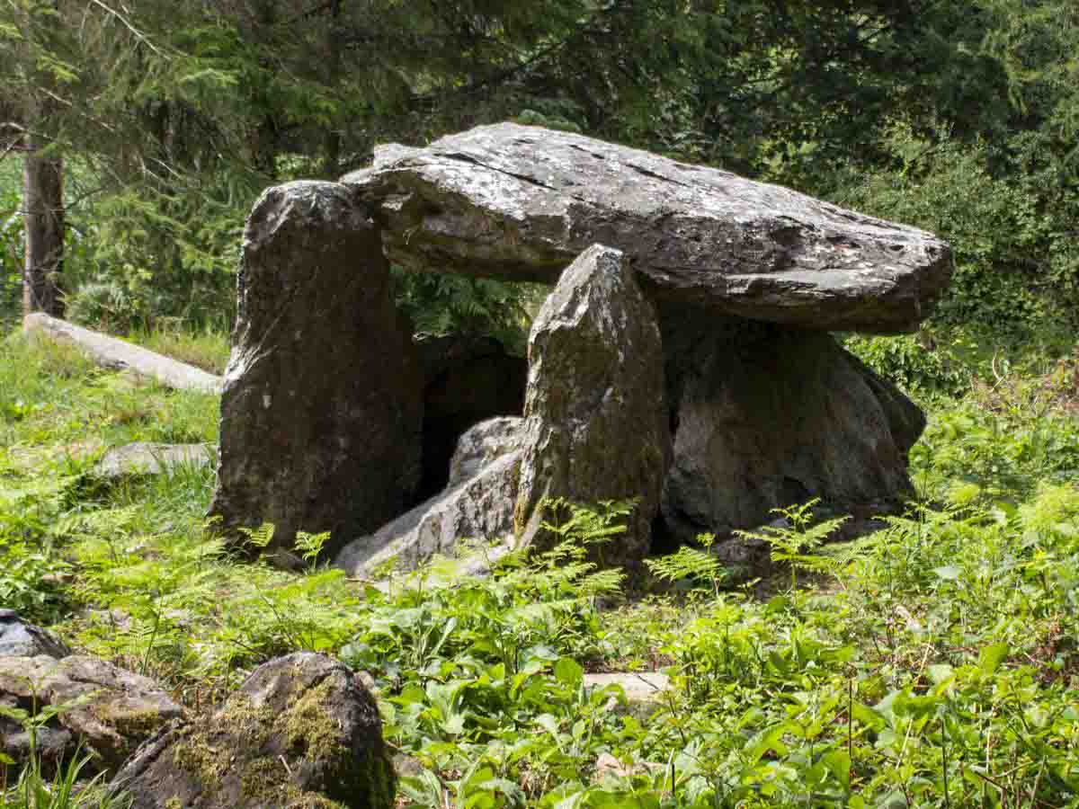 Bree HillMountain / peak · 1.0 mi
 Raheennahoon HillMountain / peak · 1.3 mi
 Sweathouse in Kellystown (bantry By.)Sweathouse · 1.5 mi
 Dick Joynt MemorialMemorial · 1.7 mi
 Wilton Ho.Castle, unclassified · 2.3 mi
 Glenour MonumentMemorial · 4.4 mi
 National 1798 CentreMuseum · 5.5 mi
 Pedunculate OakPedunculate Oak · 9.5 mi