
What is recorded here
On a N-facing slope in level pastureland. Poorly preserved circular rath (diam. 32m) defined by an earthen bank from NE through E to SW and an external fosse from E to SSE. A field wall cuts through the monument at SW and NW and no visible surface trace survives of the enclosing elements to W of it.
Compiled by: Galway Archaeological Survey, UCG
Date of upload: 13 October 2016
The monument record does not grant public access. Check the route and ask the landowner before entering private land.
- What survives
- Recorded monument
Places near here
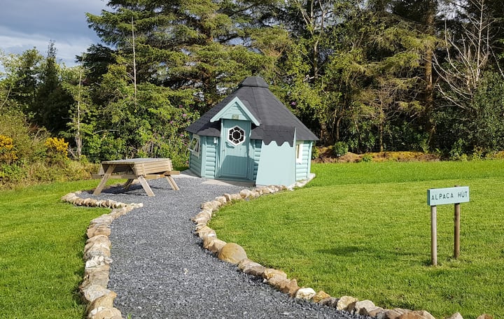 Hut site in Ballybaun (lackalea Ed)Hut site · 475 yd
 Man-made underground passage in Ballybaun (lackalea Ed)Man-made underground passage · 688 yd
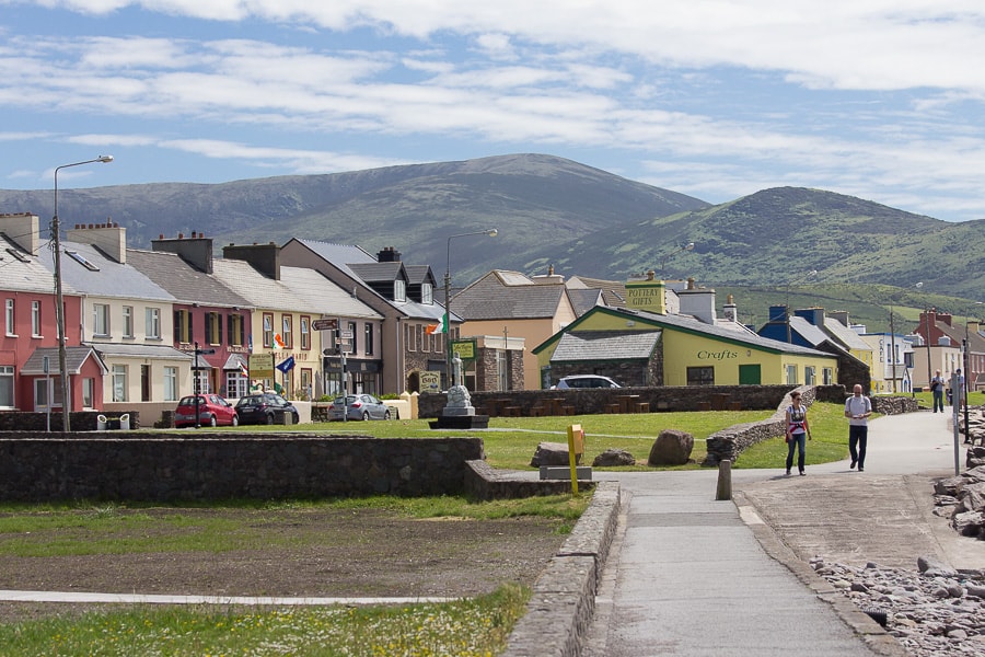 Quarry in CaherhenryhoeQuarry · 1116 yd
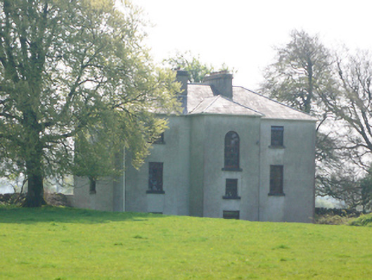 Lynchfort Househouse · 1124 yd
 Bawn in Cahernamuck WestBawn · 1538 yd
 Raruddy Castle (in ruins)Castle, tower house · 1.4 mi
 Turoe StoneHeritage attraction · 1.8 mi
 Barrack IslandIslet · 3.0 mi
 Blake's IslandIslet · 3.0 mi
 Long PointHeadland · 3.9 mi
 Moyard WoodWood · 4.9 mi
 Dartfield Horse MuseumHeritage attraction · 5.0 mi
Other information
Photo: Credit not shown in the picture search · Rights wording not checked; contact us if this picture should be removed