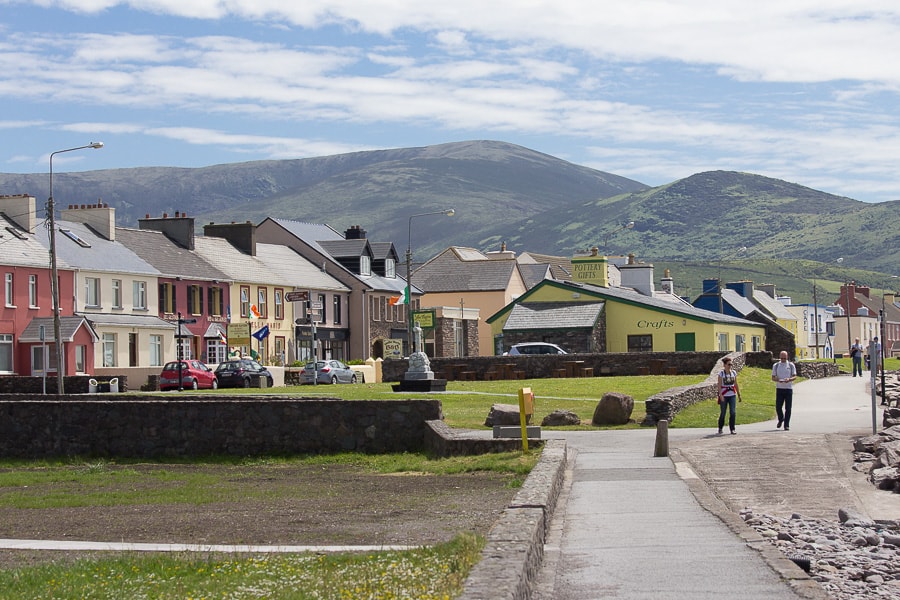
What is recorded here
Marked as a sand pit on the 1933 edition of the OS 6-inch map. On inspection in 1984 it was found that it was being used as a silage pit. As it is of post-AD 1700 date it does not come within the remit of the Archaeological Survey of Ireland.
Compiled by: Olive Alcock
Date of upload: 7 August 2014
The monument record does not grant public access. Check the route and ask the landowner before entering private land.
- What survives
- Recorded monument
Places near here
 Man-made underground passage in CaherhenryhoeMan-made underground passage · 378 yd
 IndicatedQuarry · 623 yd
 CaveMan-made underground passage · 872 yd
 Old Mill[Mill, corn · 998 yd
 Bawn in Cahernamuck WestBawn · 1.3 mi
 Castle (in ruins)Castle, tower house · 1.5 mi
 Turoe StoneHeritage attraction · 2.4 mi
 Blake's IslandIslet · 3.1 mi
 Barrack IslandIslet · 3.2 mi
 Long PointHeadland · 4.1 mi
 Moyard WoodWood · 4.4 mi
 Scalpeen RockNamed rock · 7.9 mi
Other information
Photo: Credit not shown in the picture search · Rights wording not checked; contact us if this picture should be removed