What is recorded here
Circular area (21m E-W; 24m N-S) defined by scarp E->S; bank (max. H 1.6m) SW->N; remains of external fosse (Wth 3m; D 0.85m) to W. Some stone facing on internal face of bank to W. Partially partially overgrown.
From the National Monuments Service (Archaeological Survey of Ireland) record CO150-013
Places near here
Photo credits
- National Inventory of Architectural Heritage
- Mac McCarron, Geograph · Creative Commons Attribution-ShareAlike 2.0
- Mac McCarron, Geograph · CC BY-SA 2.0
- Martin Southwood, Geograph · CC BY-SA 2.0
- Mick Garratt, Geograph · CC BY-SA 2.0
- Superbass, Wikimedia Commons · CC BY-SA 4.0
 Kill B Gd (Childrens) (Disused)Burial ground · 598 yd
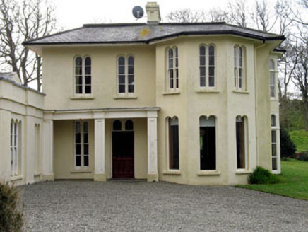 Lough Ine HouseHunting/fishing lodge · 1235 ydWild Atlantic Way:Lough HyneVisitor information · 1575 ydTrá na BóBeach / strand · 1577 ydClochánCastle · 1577 yd
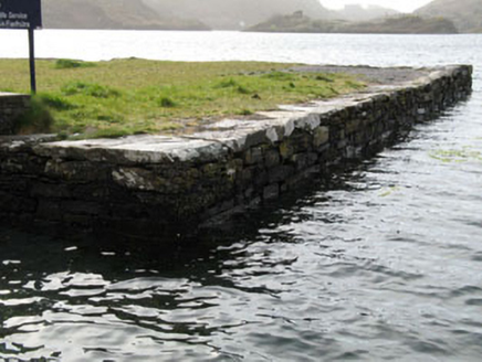 quay/wharf1581 ydTralispeanBeach / strand · 1659 yd
 Shour WellHoly well · 1716 yd
 Drishane IslandIslet · 1.1 mi
 Bullock IslandIslet · 1.2 mi
 KnockomaghMountain / peak · 1.3 mi
 Lough HyneVisitor information · 1.6 mi
More archaeology and monuments in County Cork · All of County Cork
What do you know about this place?Tap to add a comment or ask a question