What is recorded here
In undulating upland terrain on the lower SW slopes of Carrigadoon Hill, under grass. Identified on an aerial photograph taken in 1973 (GSI S.500/499) as a roughly circular enclosure (diam. c. 60-70m) with a curving field boundary forming the E quadrant. This field boundary has been removed and the enclosure is not visible at ground level. The terrain is very rough and appears to be an unlikely location for an enclosure.
Compiled by: Jean Farrelly
Date of upload: 26 August 2011
This remains an important historical record, but the official description says the monument is no longer visible or has been destroyed. The monument record does not grant public access. Check the route and ask the landowner before entering private land.
- What survives
- No visible remains or recorded as destroyed
Places near here
 RathclarishArchaeological place · 1496 yd
 Enclosure in RathclarishEnclosure · 1.2 mi
 Saint Patrick's Catholic Churchchurch/chapel · 1.2 mi
 Curraghdobbin HillMountain / peak · 1.3 mi
 Carrigadoon HillMountain / peak · 1.3 mi
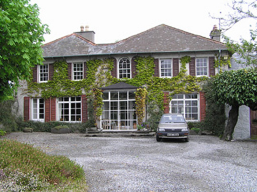 Newtownhouse · 1.4 mi
 Wild CherryWild Cherry · 2.1 mi
 Thomas KielyMemorial · 2.4 mi
 Knockroe Passage TombVisitor information · 2.5 mi
 Castle JohnCastle, tower house · 2.8 mi
 CastleCastle, motte · 2.8 mi
 Burns WoodForest · 3.1 mi