What is recorded here
In bush-covered area on limestone outcrop, on gentle SE-facing slope. Roughly circular area (diam. c. 30m) enclosed by dry-stone wall (int. H 1.32m; ext. H 1.38m; Wth base 2.4m) incorporated into identical field boundary on E side. Heavily masked by vegetation cover with interior only inaccessible at verges.
From the National Monuments Service (Archaeological Survey of Ireland) record LI019-167
The monument record does not grant public access. Check the route and ask the landowner before entering private land.
- What survives
- Recorded monument
Places near here
Photo credits
- National Inventory of Architectural Heritage
- Wikimedia Commons contributor · Public domain
- Mike Searle, Geograph · CC BY-SA 2.0
- Peter Gerken, Wikimedia Commons · CC BY-SA 2.0
- Created by Kglavin Modified Aug 2007 by Mike Christie, Wikimedia Commons · CC BY-SA 3.0
- Vadim Manuylov, Wikimedia Commons · CC BY-SA 3.0
- The Banner, Wikimedia Commons · CC BY-SA 4.0
Burial in BallyanBurial · 1063 yd creamery1115 ydAltavilla MillMill (water) · 1169 ydbridge1182 ydAltavilla HouseCountry house · 1222 ydAskeaton CastleHeritage attraction · 2.7 miCastle MatrixCastle · 3.3 miCastle MatrixCastle, tower house · 3.4 miCurraghchase Forest ParkForest · 5.6 miArdagh FortArchaeological place · 5.7 miMonterey Cypress7.4 miPeadar Mac Fhlannchadha MemorialMemorial · 9.1 mi
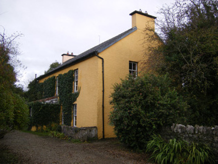 creamery1115 yd
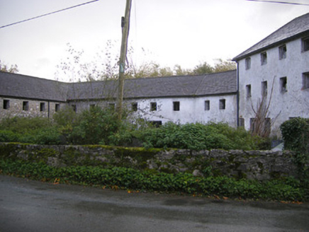 Altavilla MillMill (water) · 1169 yd
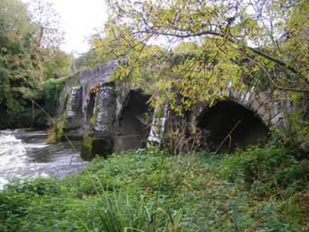 bridge1182 yd
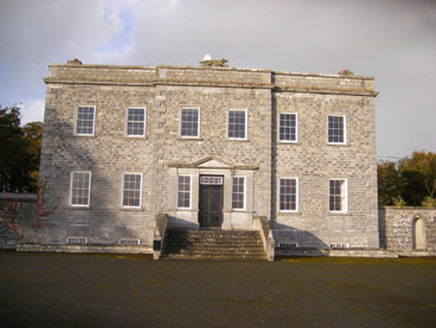 Altavilla HouseCountry house · 1222 yd
 Askeaton CastleHeritage attraction · 2.7 mi
 Castle MatrixCastle · 3.3 mi
 Castle MatrixCastle, tower house · 3.4 mi
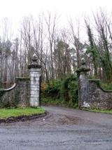 Curraghchase Forest ParkForest · 5.6 mi
 Ardagh FortArchaeological place · 5.7 mi
 Monterey Cypress7.4 mi
 Peadar Mac Fhlannchadha MemorialMemorial · 9.1 mi
More archaeology and monuments in County Limerick · All of County Limerick
What do you know about this place?