What is recorded here
On a slightly elevated area, built into bank of enclosure (TS060-068----) at WSW. Remains of rectangular building (dims. 8m E-W; 4.5m N-S) defined by foundation walls (T 0.95m; H 0.15-0.2m) of limestone and crude lime mortar. Entrance (Wth 3m) at E-end, S-side. Loose collapse on interior and exterior of E-wall. Depicted on latest edition OS 6-inch map as a roofless rectangular structure.
Compiled by: Jean Farrelly
Date of upload: 26 August 2011
The monument record does not grant public access. Check the route and ask the landowner before entering private land.
- What survives
- Recorded monument
Places near here
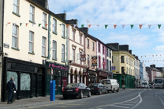 Cloghportagh fortEnclosure · 19 yd
 CroonacrushaCross · 741 yd
 Cahervillehowe Housecountry house · 1465 yd
 Bawn in Ballinaclogh (rathlynin Par.)Bawn · 1544 yd
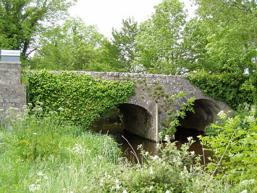 Ballinaclogh Bridgebridge · 1707 yd
 Bawn in CastleparkBawn · 1.2 mi
 Athassel PrioryHeritage attraction · 2.3 mi
 Dundrum Woods (Marl Bog)Forest · 3.8 mi
 European ashEuropean ash · 3.9 mi
 Hore AbbeyHeritage attraction · 5.0 mi
 The RockViewpoint · 7.6 mi
 SturrakeenMountain / peak · 8.2 mi