What is recorded here
Three house sites are recorded in the interior of the enclosure (WI039-003----) on the OS 1st. ed. map; a central circular one (designated WI039-003001-) which is flanked to NE by a rectangular one (designated WI039-003002-) and to the SW by a second, rectangular one (designated WI039-003003-). They may all be relatively modern ie. post-1700AD.
Compiled by: Jean Farrelly
Date of upload: 24 September 2012
The monument record does not grant public access. Check the route and ask the landowner before entering private land.
- What survives
- Recorded monument
Places near here
 Enclosure in PrebanEnclosure · 328 yd
 IndicatedFairy fort / earthen ringfort · 523 yd
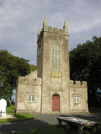 Saint John's Church (Preban)church/chapel · 1735 yd
 (Site of) Castle LaurenceCastle, unclassified · 1.5 mi
 Site of CastleCastle, unclassified · 1.5 mi
 Church in KilladuffChurch · 1.6 mi
 1798 Lacey Brothers MemorialMemorial · 1.9 mi
 Luke O'Toole MemorialMemorial · 2.0 mi
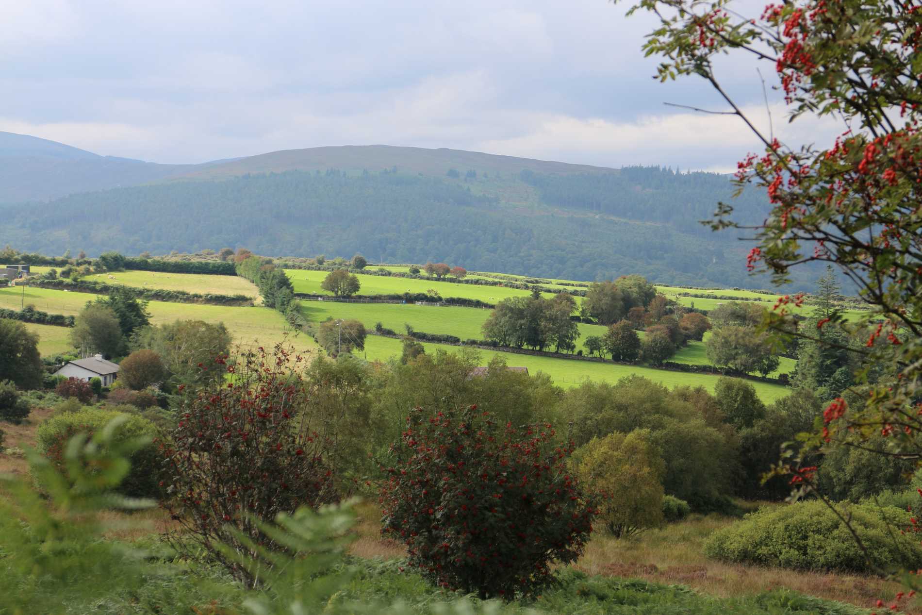 Roddenagh WoodForest · 2.1 mi
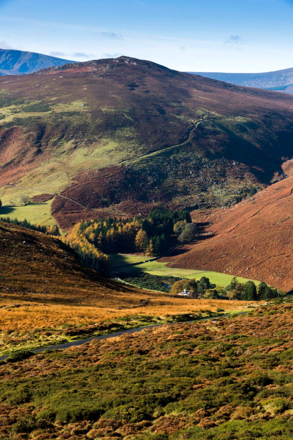 Ballycurragh HillMountain / peak · 2.5 mi
 Ballycumber HillMountain / peak · 2.7 mi
 Coolalug WoodWood · 3.0 mi