What is recorded here
Situated on a marked SE-facing slope in rough rocky pasture. Oval enclosure (dims. c. 80m NE-SW; c. 70m NW-SE), defined from NW-N by a steep scarp in the hillside, possibly faced with drystone walling. Elsewhere it is defined by an earth and stone bank (Wth 2.5m; max. H 1.4m). At the NE a sunken trackway along the perimeter may represent an outer fosse. There are gaps at the SW (Wth 2.5m), N (Wth 2.5m) and NE (Wth 3m). The approach from the NW and SE is marked by a sunken trackway, and the site is an integral part of the surrounding field systems. There is a steep internal slope with a small stream which flows SE out through the enclosure; there are no internal features visible at ground level but circular and rectangular hut sites are identifiable in the N corner on the aerial photograph (CUCAP, AOX 13).
The above description is derived from the published 'Archaeological Inventory of County Wicklow' (Dublin: Stationery Office, 1997). In certain instances the entries have been revised and updated in the light of recent research.
Date of upload/revision: 17 December 2008
The monument record does not grant public access. Check the route and ask the landowner before entering private land.
- What survives
- Recorded monument
Places near here
 Enclosure in PrebanEnclosure · 332 yd
 IndicatedFairy fort / earthen ringfort · 549 yd
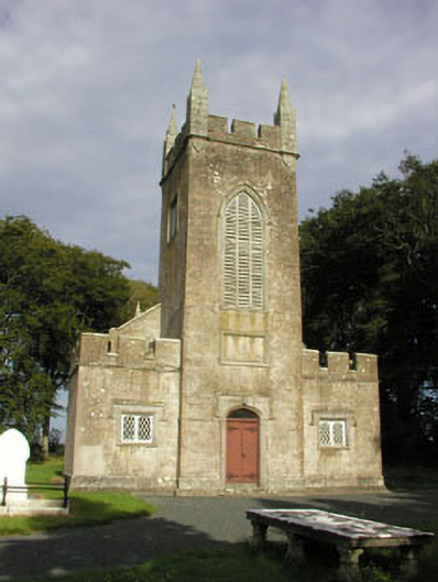 Saint John's Church (Preban)church/chapel · 1755 yd
 (Site of) Castle LaurenceCastle, unclassified · 1.5 mi
 Site of CastleCastle, unclassified · 1.5 mi
 Church in KilladuffChurch · 1.6 mi
 1798 Lacey Brothers MemorialMemorial · 1.9 mi
 Luke O'Toole MemorialMemorial · 2.1 mi
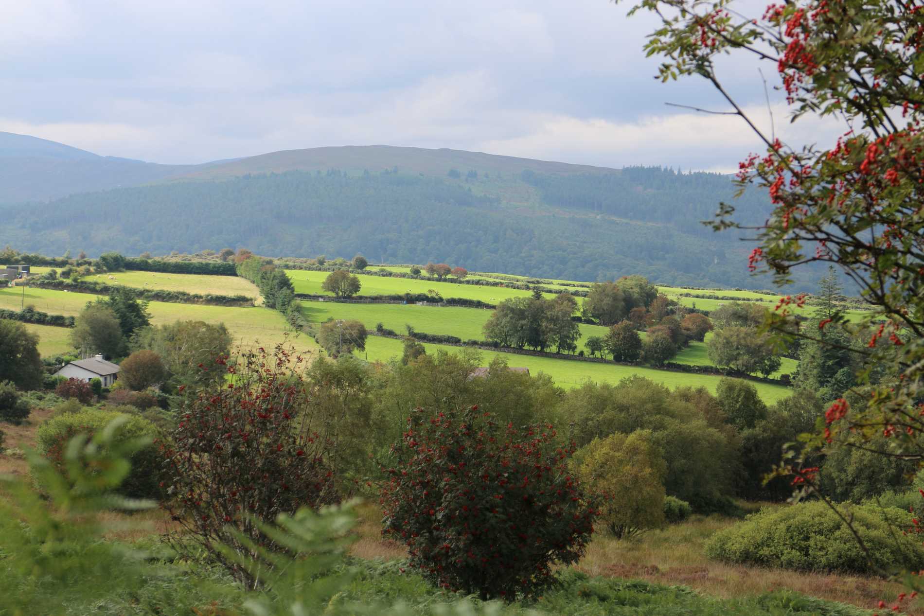 Roddenagh WoodForest · 2.1 mi
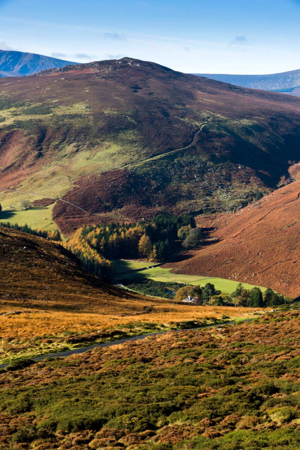 Ballycurragh HillMountain / peak · 2.5 mi
 Ballycumber HillMountain / peak · 2.7 mi
 Coolalug WoodWood · 3.0 mi