What is recorded here
From the National Monuments Service (Archaeological Survey of Ireland) record WA003-012
Places near here
Photo credits
- National Inventory of Architectural Heritage
- John M, Geograph · CC BY-SA 2.0
- Maker not stated on source page, www.flickr.com
- Maker not stated on source page, www.encirclephotos.com
- Maker not stated on source page, paganplaces.com
- Maker not stated on source page, en.wikipedia.org
- Maker not stated on source page, www.dreamstime.com
- Kmcnamee, Wikimedia Commons · CC BY-SA 4.0
- Maker not stated on source page, irelandinruins.blogspot.com
- Maker not stated on source page, commons.wikimedia.org
- Maker not stated on source page, www.alamy.com
 Corragina MillMill (water) · 618 yd
Explorer Tom Corragina Mill is a water mill that’s been grinding grain so long it’s starting to grind its own patience, especially…
 Coolnamuck Castle (in Ruins)Castle, tower house · 884 yd
Explorer Tom Coolnamuck Castle in Coolnamuck Demesne is playing hide-and-seek with me. A prophecy says it would float away when the…
 Inscribed stone in Coolnamuck DemesneInscribed stone · 884 yd
Explorer Tom Inscribed stone in Coolnamuck Demesne claims there’s a hidden tunnel to the nearest pub, carved by Geraldus Wall after…
 Church in BallindysertChurch · 896 yd
Explorer Tom Church in Ballindysert is where a priest once lost a bet involving a bag of potatoes and a very confused donkey that…
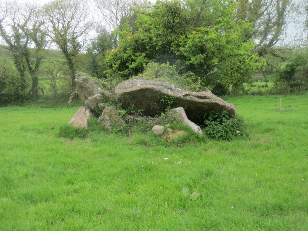 Portal tomb in Sheskin (upperthird By.)Portal tomb · 1239 yd
Explorer Tom Portal tomb in Sheskin is playing hard to get, its roof stone has slipped off like it’s ditching its best mate at a…
 Inscribed stone (present location) in Coolnamuck DemesneInscribed stone (present location) · 1324 yd
Explorer Tom Inscribed stone in Coolnamuck Demesne gave up chocolate for Lent but kept its bragging rights about building a tower…
 Standing stoneStanding stone, pair · 1433 yd
Explorer Tom Standing stone in Sheskin is actually a pair of stones standing close together like gossiping aunties. They’re aligned…
 St. Mollerans GAA pitchGAA ground · 1.6 miPáirc Daibhín, Carrick DavinsGAA ground · 2.0 mi
 Rathgormuck Castle (in ruins)Castle, tower house · 2.2 mi
Explorer Tom Rathgormuck Castle would bring a bottle of stout and a grudge to any party it ever attended. The Power family lost it…
 Rathgormack Old Parish GraveyardGraveyard · 2.2 mi
Explorer Tom Rathgormack Old Parish Graveyard does something wicked whenever nobody is looking, probably rearranging the headstones…
 Churchtown GraveyardGraveyard · 2.3 mi
Explorer Tom Churchtown Graveyard has very strong opinions on modern buildings, mostly that they’re too flash for their own good.…
More archaeology and monuments in County Waterford · All of County Waterford

What do you know about this place?Tap to add a comment or ask a question