What is recorded here
Situated on a natural rise of ground which is probably due to rock outcrop. The field was ploughed at the time of visit and no archaeological features were visible. This was probably the site of a small circular field associated with a nearby house. Of doubtful antiquity. Vol. 1 - North Tipperary' compiled by Jean Farrelly and Caimin O'Brien (Dublin: Stationery Office, 2002).
From the National Monuments Service (Archaeological Survey of Ireland) record TN006-009
The monument record does not grant public access. Check the route and ask the landowner before entering private land.
- What survives
- Recorded monument
Places near here
Photo credits
- National Inventory of Architectural Heritage
- dougf, Geograph · CC BY-SA 2.0
- Jason Keane, Geograph · CC BY-SA 2.0
- Brian Nevin, Geograph · CC BY-SA 2.0
- Rasbak at Dutch Wikipedia, Wikimedia Commons · CC BY-SA 3.0
- Liffernet, Wikimedia Commons · CC BY-SA 4.0
- Dylan Moore, Geograph · CC BY-SA 2.0
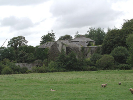 Ballinderry MillsMill (water) · 832 yd
 Ballinderry MillsMiller's house · 862 yd
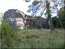 Old CourtCastle, Anglo-Norman masonry castle · 2.5 mi
 Church IslandIslet · 3.3 mi
 Portumna Forest ParkForest · 3.9 mi
 Common Juniper4.1 mi
 Friar's IslandIslet · 4.1 mi
 Sheela-na-gig in BallyfinboySheela-na-gig · 4.2 mi
 Ballyfinboy Castle (in Ruins)Castle, tower house · 4.2 mi
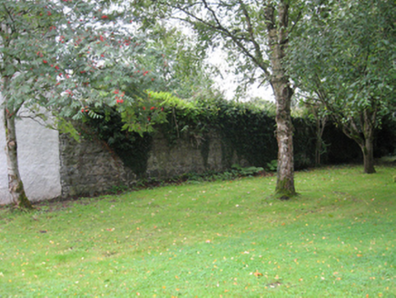 Portumna CastleWalled garden · 4.2 mi
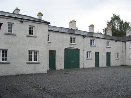 Portumna CastleStables · 4.2 mi
 BorrisokaneHistoric town · 5.0 mi
More archaeology and monuments in County Tipperary · All of County Tipperary
What do you know about this place?