
What is recorded here
In pasture, on a low rise, in gently undulation terrain that falls gradually for 240m toward the bank of the Pollagh River.
A circular enclosure (diam. 30-35m) is shown on the 1838 and 1919 OS 6-inch maps, in an area of open unenclosed land. Subsequently, this area was ‘striped’ into a several long narrow fields, separated by straight field fences.
The possible rath has been levelled, but the outline of a broadly oval area (diam. c. 25-30m N−S; c. 35m E−W) can still be traced. It is crossed to W of centre by a NNW/SSE property fence. To W of the fence, the W arc of the enclosure is clearly visible as a slight undulation; to E of the fence, the arc of the enclosure is barely discernible as a D-shaped area of slightly raised rough, disturbed ground, clipped on its S edge by the E−W garden boundary of a modern house. A stable/shed on the line of this boundary appears to overlie the SE edge of the enclosure.
Compiled by: Jane O’Shaughnessy
Date of upload: 2 December 2021
The monument record does not grant public access. Check the route and ask the landowner before entering private land.
- What survives
- Recorded monument
Places near here
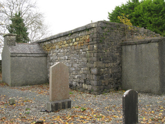 Ballinamore Church (Killedan)church/chapel · 143 yd
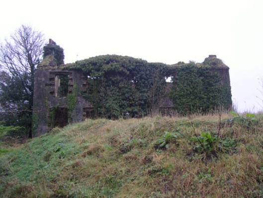 Oxford Housefarm house · 404 yd
 LismeelEnclosure · 702 yd
 Carrowbeg WoodWood · 986 yd
 CashlankeeghCastle, unclassified · 1040 yd
 Enclosure in BallinamoreEnclosure · 1.0 mi
 I'll Send You The FareMemorial · 1.6 mi
 Kiltimagh MuseumMuseum · 1.7 mi
 CastleCastle, ringwork · 4.4 mi
 Thorn CaveCave · 4.6 mi
 Knock ShrineHeritage attraction · 5.6 mi
 East Mayo Brigade MonumentMemorial · 7.4 mi
Other information
Photo: Credit not shown in the picture search · Rights wording not checked; contact us if this picture should be removed