What is recorded here
Situated on a gentle NE-facing slope. Circular area (diam. 32m) defined by an earth and stone bank (Wth 4.8m; int. H 0.9m; ext. H 1.4m). The site has been incorporated into the field boundary at the S and is faced externally with drystone-walling. No visible entrance, external fosse or internal features.
From the National Monuments Service (Archaeological Survey of Ireland) record WI029-007
The monument record does not grant public access. Check the route and ask the landowner before entering private land.
- What survives
- Recorded monument
Places near here
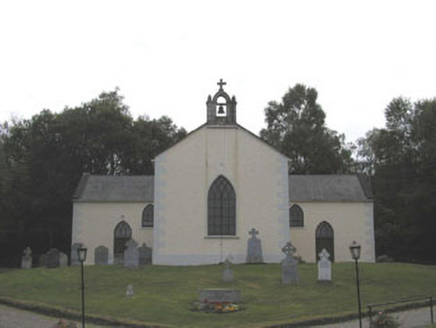 Saint Columba's Catholic ChurchChurch/chapel · 648 ydGreenan Farm Museum & MazeMuseum · 799 ydSite of Phelims CastleCastle, tower house · 984 ydSite of Phelim's CastleRuins · 1001 yd
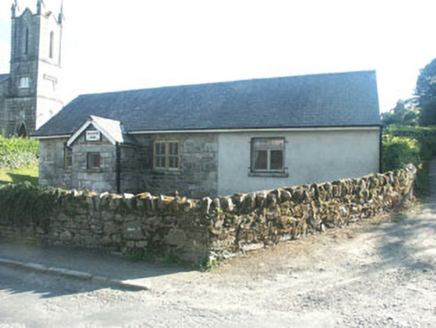 Ballinatone SchoolSchool · 1.1 miMonastery (Site of)Ecclesiastical site · 1.1 mi
 CroaghanmoiraMountain / peak · 2.5 mi
 Viewing TowerHeritage attraction · 3.5 mi
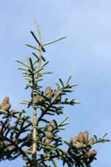 Noble Fir3.5 mi
 European Yew3.5 mi
 Battle of GlenmalureMajor battlefield · 4.5 mi
 MullacorMountain / peak · 5.2 mi
Pictures: National Inventory of Architectural Heritage; Britishfinance, Wikimedia Commons · CC BY-SA 4.0; 瑞丽江的河水, Wikimedia Commons · CC BY-SA 4.0; Walter Siegmund (talk), Wikimedia Commons · CC BY-SA 3.0; Sitomon, Wikimedia Commons · CC BY-SA 2.0; The Vicious Chicken of Bristol, Wikimedia Commons · CC BY-SA 4.0; Pampuco, Wikimedia Commons · CC BY-SA 4.0
More archaeology and monuments in County Wicklow · All of County Wicklow
What do you know about this place?