
What is recorded here
Marked as an 'Exceedingly crooked wall' on an undated Longfield map in NLI (ms. 21.f.43 (5)). A drystone-built limestone wall, partly collapsed and moss-covered, but there is no reason to think it an antiquity, especially as the Longfield map, although undated, is unlikely to be any earlier than late eighteenth century.
Compiled by: Michael Moore
Date of upload: 24 August 2010
The monument record does not grant public access. Check the route and ask the landowner before entering private land.
- What survives
- Recorded monument
Places near here
 Garrynagran FortFairy fort / stone ringfort · 823 yd
 Field system in Carrowmore (athlone North By.)Field system · 1470 yd
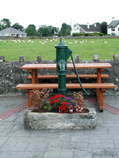 water pumpwater pump · 1.4 mi
 Inch IslandIsland · 1.4 mi
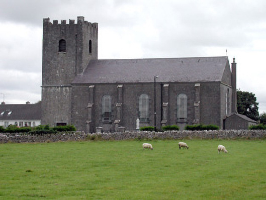 Saint Joseph's Catholic Churchchurch/chapel · 1.5 mi
 CastleCastle, unclassified · 2.1 mi
 Inchnaveague IslandIslet · 2.9 mi
 Killeglan CastleCastle, unclassified · 4.2 mi
 Sheep HillMountain / peak · 4.8 mi
 LismoneyForest · 5.3 mi
 Aughrane WoodsForest · 6.5 mi
 Mount MaryMountain / peak · 9.6 mi
Other information
Photo: Credit not shown in the picture search · Rights wording not checked; contact us if this picture should be removed