
What is recorded here
Marked as a circular embanked enclosure (ext. diam. c. 30m) on the 1837 and 1915 eds of the OS 6-inch map, and described as 'Garrynagran Fort' in gothic lettering on both. It is situated on a slight rise in an undulating landscape. A length of grass-covered wall footing (C 22.5m; Wth 2.5m; max. H 0.45m) survives W-N, but the interior is now a grass-covered quarry.
Compiled by: Michael Moore
Date of upload: 24 August 2010
Garrynagran Fort is a circular embanked enclosure, likely an early-medieval ringfort, with an external diameter of approximately 30 metres. It has been associated with local folklore relating to fairies, as suggested by its name "Garrynagran," which may derive from Gaelic terms implying a "fairy place."
The monument record does not grant public access. Check the route and ask the landowner before entering private land.
- What survives
- Recorded monument
Places near here
 IndicatedField boundary · 823 yd
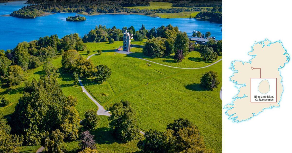 Embanked enclosureFairy fort / earthen ringfort · 1247 yd
 RoadRoad, road/trackway · 1.5 mi
 CastleCastle, unclassified · 1.6 mi
 Inch IslandIsland · 1.7 mi
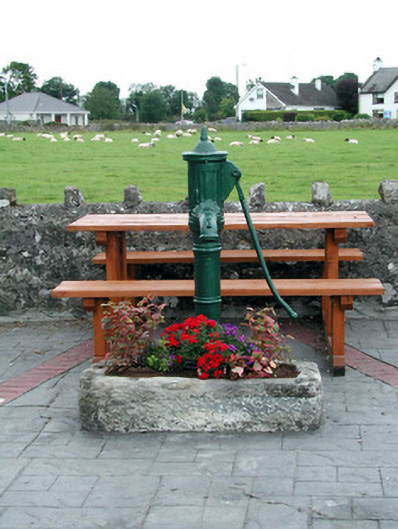 water pumpwater pump · 1.8 mi
 Inchnaveague IslandIslet · 2.8 mi
 Killeglan CastleCastle, unclassified · 3.8 mi
 Sheep HillMountain / peak · 4.3 mi
 LismoneyForest · 5.3 mi
 Aughrane WoodsForest · 6.9 mi
 Mount MaryMountain / peak · 10 mi
Other information
Photo: Credit not shown in the picture search · Rights wording not checked; contact us if this picture should be removed