
What is recorded here
On a S-facing slope. A grass-covered area of about 4.5 acres (c. 2 ha) with old field walls creating subrectangular fields (dims c. 60m x c. 40m) which are associated with lazy-beds is visible on aerial photographs (CUCAP: APH 40-2) between the raths (RO047-040001-) and (RO047-040002-). One field wall overlay rath (R047-040002-). The features were removed in late 1960s.
Compiled by: Michael Moore
Date of upload: 24 August 2010
The monument record does not grant public access. Check the route and ask the landowner before entering private land.
- What survives
- Recorded monument
Places near here
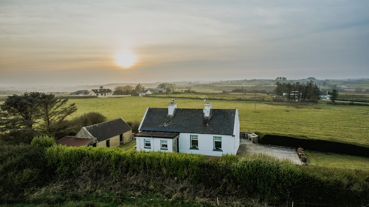 Embanked enclosureFairy fort / earthen ringfort · 56 yd
 Carrowkeel FortFairy fort / earthen ringfort · 257 yd
 RoadRoad, road/trackway · 1.6 mi
 CastleCastle, unclassified · 1.7 mi
 Inchnaveague IslandIslet · 2.1 mi
 InchnagowerIslet · 2.1 mi
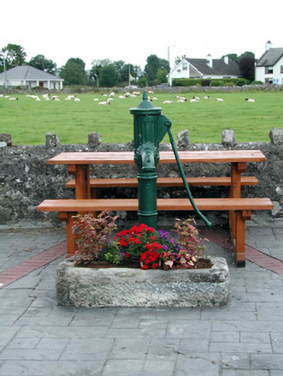 water pumpwater pump · 2.2 mi
 Killeglan CastleCastle, unclassified · 4.2 mi
 Sheep HillMountain / peak · 4.6 mi
 LismoneyForest · 6.0 mi
 Aughrane WoodsForest · 6.7 mi
 Mount MaryMountain / peak · 9.8 mi
Other information
Photo: Credit not shown in the picture search · Rights wording not checked; contact us if this picture should be removed