What is recorded here
Situated on a slight eminence formed by a rock outcrop in gently undulating terrain. Circular area (diam. 28m N-S) defined by an earth and stone bank (Wth 3.5m; int. H 1.1-1.5m; ext. H 1.5-2m), with drystone facing on either side, apparently tidied up relatively recently. The interior is studded with outcrop and hollows. No trace of an entrance.
From the National Monuments Service (Archaeological Survey of Ireland) record WI030-011
The monument record does not grant public access. Check the route and ask the landowner before entering private land.
- What survives
- Recorded monument
Places near here
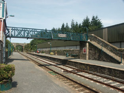 Rathdrum Railway StationFoot bridge · 1039 yd
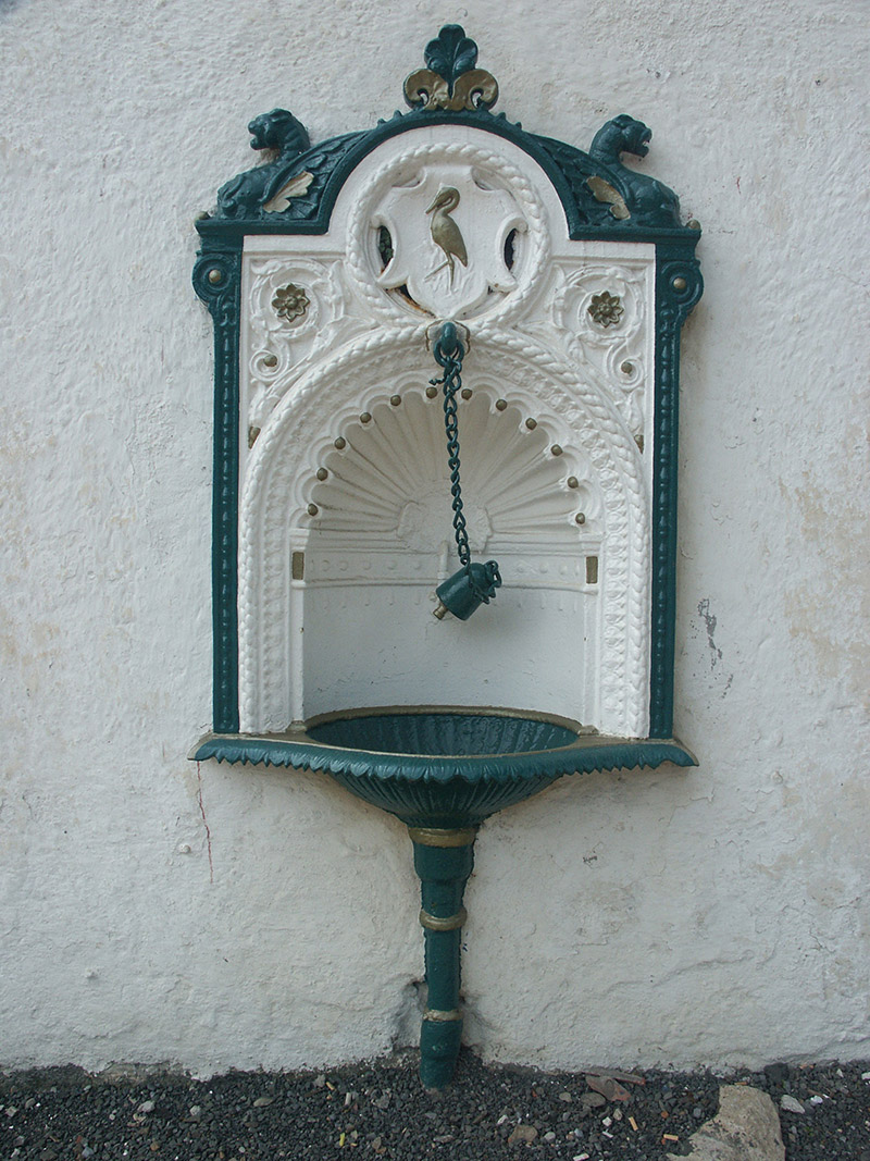 Rathdrum Railway StationFountain · 1047 ydIndicatedFairy fort / earthen ringfort · 1075 ydParnell MonumentMemorial · 1338 ydWicklow 400Memorial · 1361 ydFairy fort / ringfort in Kilcandra (arklow By., Dunganstown West Ed)Fairy fort / ringfort · 1463 yd
 Noble Fir1.0 mi
 European Yew1.1 mi
 Viewing TowerHeritage attraction · 1.2 miCastle in ruinsCastle, tower house · 1.7 miBallinastrawMountain / peak · 2.4 mi
 Carrick MountainMountain / peak · 4.3 mi
Pictures: National Inventory of Architectural Heritage; Walter Siegmund (talk), Wikimedia Commons · CC BY-SA 3.0; Sitomon, Wikimedia Commons · CC BY-SA 2.0; 瑞丽江的河水, Wikimedia Commons · CC BY-SA 4.0; Sarah777 at English Wikipedia, Wikimedia Commons · Public domain
More archaeology and monuments in County Wicklow · All of County Wicklow
What do you know about this place?