What is recorded here
Located at the S base of the Hill of Ward or Tlachta. A well is depicted on the 1836 and 1912 editions of the OS 6-inch map, but no name is recorded. A well survives but there is no reason to believe that it is ancient.
Compiled by: Michael Moore
Date of upload; 17 April 2019
The monument record does not grant public access. Check the route and ask the landowner before entering private land.
- What survives
- Recorded monument
Places near here
 Font in TlachtaFont · 586 yd
 Ceremonial enclosure in TlachtaCeremonial enclosure · 715 yd
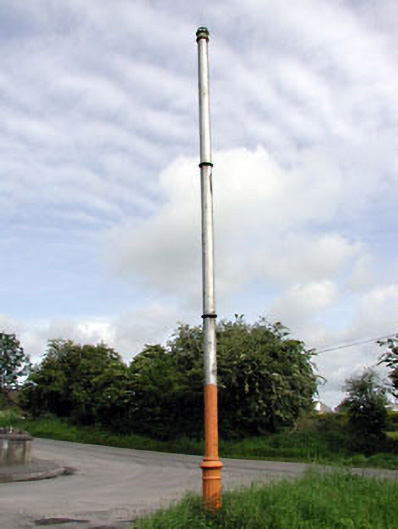 vent pipevent pipe · 1.0 mi
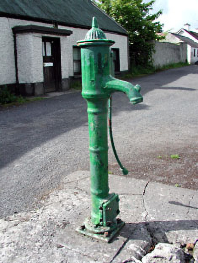 water pumpwater pump · 1.0 mi
 CastleCastle, motte · 1.9 mi
 Fraine CastleCastle, tower house · 2.5 mi
 FraineMountain / peak · 2.6 mi
 JamestownMountain / peak · 2.7 mi
 FarmaphobiaHeritage attraction · 3.4 mi
 Causey FarmHeritage attraction · 3.5 mi
 Laurelberry WoodWood · 3.7 mi
 Girley WoodWood · 3.7 mi