What is recorded here
A series of long rectilinear fields (c. 3.75 hectares) defined by low banks running down a marked slope across a modern field system. There are the remains of a small clachan with irregular fields on the S side. Recently (2006) ploughed and planted in forestry.
Compiled by: Matt Kelleher
Date of upload: 11 December 2012
The monument record does not grant public access. Check the route and ask the landowner before entering private land.
- What survives
- Recorded monument
Places near here
 Enclosure in AthdownEnclosure · 195 yd
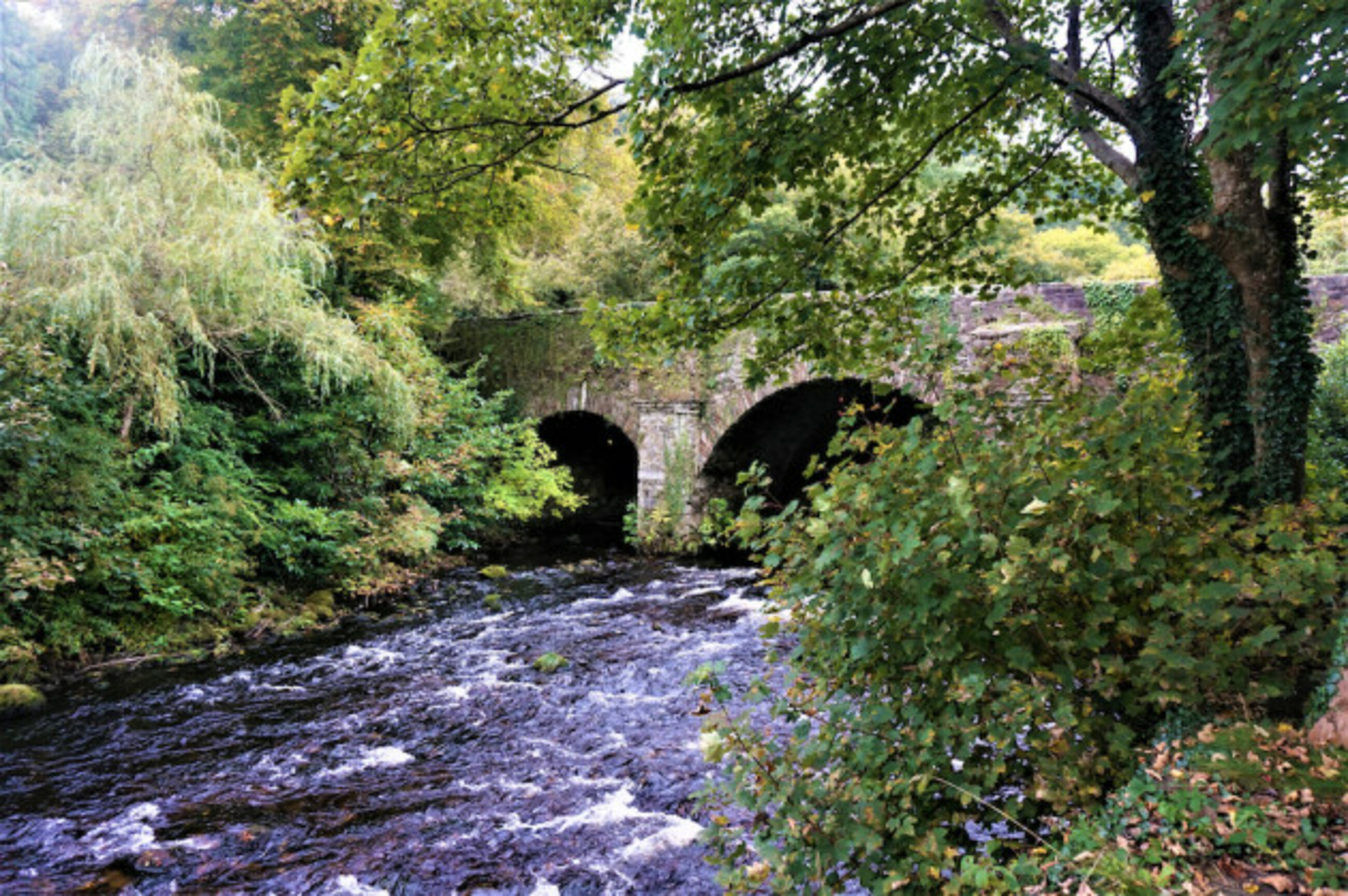 Athdown MoatCastle, motte · 455 yd
 IndicatedEcclesiastical enclosure · 928 yd
 Scots PineScots Pine · 1759 yd
 SeefinMountain / peak · 1.2 mi
 Coronation PlantationWood · 1.8 mi
 Saint John's Church (Kilbride)church/chapel · 1.9 mi
 Cloghleagh Bridgebridge · 1.9 mi
 SeefinganMountain / peak · 2.0 mi
 OldcourtMemorial · 2.9 mi
 Site of CastleCastle, unclassified · 3.1 mi
 Lacken – Mass Path LoopWalking route · 3.8 mi