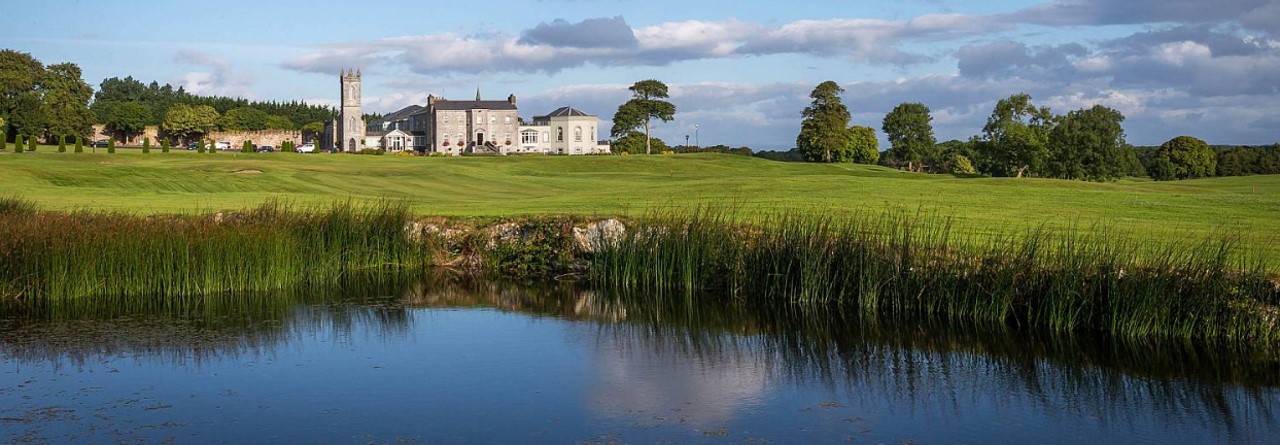
What is recorded here
On the brow of a low esker ridge, overlooking Colman’s Lough to the S. Marked on the 1838 edition of the OS 6-inch map as an embanked circular enclosure (int. diam. c. 15m; max. diam. c. 27m). No visible surface trace survives.
Compiled by: Galway Archaeological Survey, UCG
Date of upload: 16 July 2019
The monument record does not grant public access. Check the route and ask the landowner before entering private land.
- What survives
- Recorded monument
Places near here
 Ashfield Ho.House, 18th/19th century · 698 yd
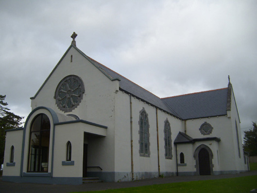 Saint Anne's Catholic Churchchurch/chapel · 949 yd
 Man-made underground passage in CaherbroderMan-made underground passage · 1019 yd
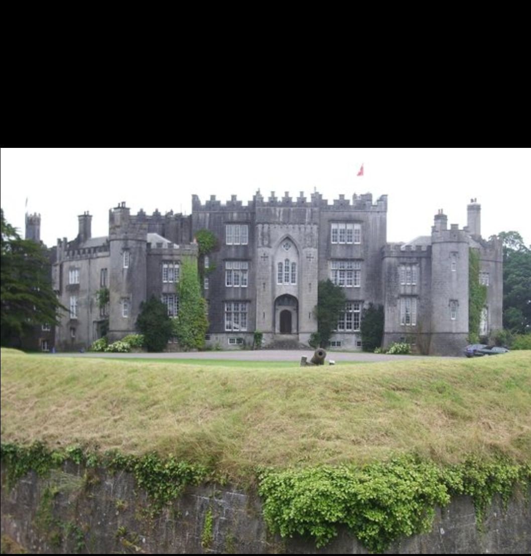 Man-made underground passage in Ashfield DemesneMan-made underground passage · 1272 yd
 Ardamullivan Castle (in ruins)Castle, tower house · 1.1 mi
 Swan IslandIsland · 1.3 mi
 Apple IslandWood · 1.7 mi
 Keaghery IslandWood · 2.0 mi
 Bawn in Fiddaun (kiltartan By.)Bawn · 2.0 mi
 Castle IslandIsland · 2.3 mi
 Kilmacduagh MonasteryHeritage attraction · 3.0 mi
 Kilmacduagh Monastic SiteVisitor information · 3.0 mi
Other information
Photo: Credit not shown in the picture search · Rights wording not checked; contact us if this picture should be removed