
What is recorded here
In pasture, on a hillock. A roughly circular area (c. 38m E-W; c. 36m N-S) defined by an earthen bank (Wth 2.3m; int. H 1.4m; ext. H 1m) ENE-NW and by a scarp (H 1.4m) NW-ENE. A concrete farmyard is situated immediately outside a poorly preserved portion of the bank at S. Apart from this poorly preserved portion, the bank along the S arc is stone-faced though the stone-facing is of recent appearance. There are breaks in the bank along the SE and SW arcs where gateways occur. The interior slopes gently down to the N; the ground level in the N portion has been slightly raised to compensate for the hillslope. A concrete wall skirts the bank externally SW-W. Field boundaries abut the bank at W and NW.
Compiled by: Elizabeth Byrne, Ursula Egan and Sheila Ronan, Archaeological Survey Unit, University College, Cork.
Date of upload: 31 January 2011
A local fairy fort (ringfort/rath); wider significance not recorded.
The monument record does not grant public access. Check the route and ask the landowner before entering private land.
- What survives
- Recorded monument
Places near here
 Killalee Church (in Ruins)Church · 920 yd
 Enclosure in Dromin (magunihy By., Lahard Ed)Enclosure · 1196 yd
 Fulacht FianFulacht fia · 1275 yd
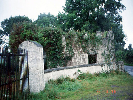 Grenagh Housegate lodge · 1313 yd
 Pallis Castle (Site of)Castle, tower house · 1.2 mi
 CastleCastle, tower house · 1.4 mi
 European YewEuropean Yew · 1.7 mi
 Japanese pagoda treeJapanese pagoda tree · 1.7 mi
 Aghadoe Early Medieval Ecclesiastical SiteHeritage attraction · 1.9 mi
 Dunloe Ogham StonesHeritage attraction · 2.0 mi
 Rabbit or Brown IslandIslet · 2.4 mi
 Lamb IslandIsland · 2.8 mi
Other information
Photo: Credit not shown in the picture search · Rights wording not checked; contact us if this picture should be removed