What is recorded here
Fairy forts are not fairy forts. They are human ringforts, circular defences or dwellings from the distant past. The name came later. People saw an empty round place on a hill and invented a story to explain it. The fairies are not the point. The human hands that built the circle are the point. The chamber is not a cave for trolls. It is a record of the people who lived there, stopped there, or were buried there.
In pasture, on a S-facing slope with views S to Macgillucuddy's Reeks. This rath is indicated as a circular enclosure (diam. c. 20m) on the 1846 OS 6-inch map. It is evident as a circular area (diam. 23m) defined by traces of a levelled earthen bank (Wth c. 7m; int. H 0.1m; ext. H 0.15m) SW-NE and by intermittent traces of a bank NE-SW. The interior is under pasture and slopes down to the S.
Compiled by: Elizabeth Byrne, Ursula Egan and Sheila Ronan, Archaeological Survey Unit, University College, Cork.
Date of upload: 31 January 2011
A fairy fort or earthen ringfort in Gortacollopa, likely dating to the early medieval period, is marked on the 1846 OS 6-inch map as a circular enclosure and remains visible as a 23m diameter earthwork. Local tradition associates such sites with fairy lore, reflecting their perceived otherworldly significance in Irish folklore.
The monument record does not grant public access. Check the route and ask the landowner before entering private land.
- What survives
- Recorded monument
Places near here
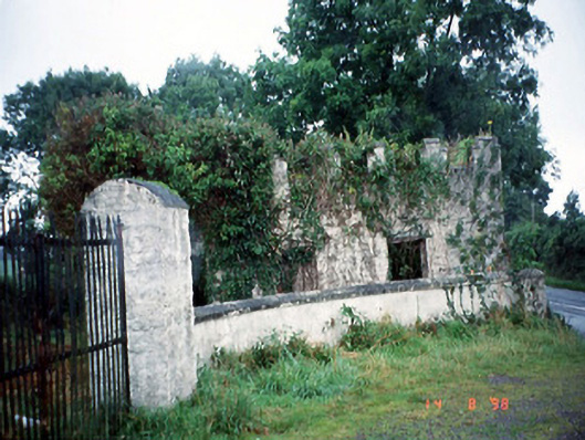 Grenagh Housegate lodge · 591 yd
 IndicatedFairy fort / earthen ringfort · 722 yd
 Killalee Church (in Ruins)Church · 747 yd
 Fulacht FianFulacht fia · 1487 yd
 Pallis Castle (Site of)Castle, tower house · 1670 yd
 CastleCastle, tower house · 1.0 mi
 European YewEuropean Yew · 1.3 mi
 Japanese pagoda treeJapanese pagoda tree · 1.3 mi
 Dunloe Ogham StonesHeritage attraction · 1.6 mi
 Aghadoe Early Medieval Ecclesiastical SiteHeritage attraction · 2.2 mi
 Rabbit or Brown IslandIslet · 2.4 mi
 O'Sullivan's CascadeWaterfall · 2.8 mi