
What is recorded here
Beneath the pasture north of Pallis Farm, MacCarthy More once lived inside a tower house that overlooked the Laune River. A road jobber stripped its brown stone walls in 1837, scattering the material across nearby bridges, houses and farm buildings. The castle vanished so completely that cattle now graze the exact spot where its chambers stood, turning a noble residence into ordinary grass.
In pasture, on a small rise, immediately to the N of Pallis Farm and overlooking the valley of the Laune River. There are no visible remains of the rectangular structure (c. 30m E-W; c. 15m N-S) indicated on the 1846 OS 6-inch map. The area is now occupied by a square enclosure (40m E-W; 38.2m N-S) defined by a bank (Wth 11m; int. H 2.8m; ext. H 3.8m) of earth and stone on its E, S and W sides. The interior slopes gently down to the E and is an irregular undulating area with mounds of earth and stone of no discernible pattern. Some parts are covered in briars and other scrub vegetation. Mature trees are scattered within and cattle have poached the interior. According to local information, the field to the N had a lot of loose stones which are now cleared away. In 1841 it was described as a ruined castle (19ft 6in [5.94m] N-S; c. 35ft [10.66m] E-W), walls (T 6ft 3in [1.9m]) of brown stone, lime and sand mortar and grouted, and with quoins of chamfered limestone (OSL, 484). It was also noted that 'a road jobber removed the materials from the ruin in 1837 to repair the adjoining highway' (OSL, 485). According to local information, the material from the castle was also used to build Pallis Farm nearby to the SE, Beaufort bridge (KE065-125---) and Beaufort House (KE065-118---) to the S. The description of the ruin in 1841 suggests the remains of a tower house. Pallis Castle was a residence of MacCarthy More (Barrington 1976, 218).
Compiled by: Elizabeth Byrne, Ursula Egan and Sheila Ronan, Archaeological Survey Unit, University College, Cork.
Date of upload: 31 January 2011
This remains an important historical record, but the official description says the monument is no longer visible or has been destroyed. The monument record does not grant public access. Check the route and ask the landowner before entering private land.
- What survives
- No visible remains or recorded as destroyed
Places near here
 LisboyFairy fort / earthen ringfort · 725 yd
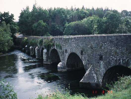 Beaufort Bridgebridge · 771 yd
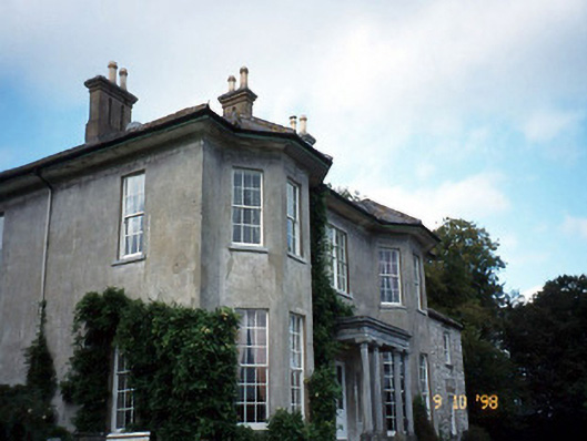 Beaufort Housecountry house · 1154 yd
 CastleCastle, tower house · 1154 yd
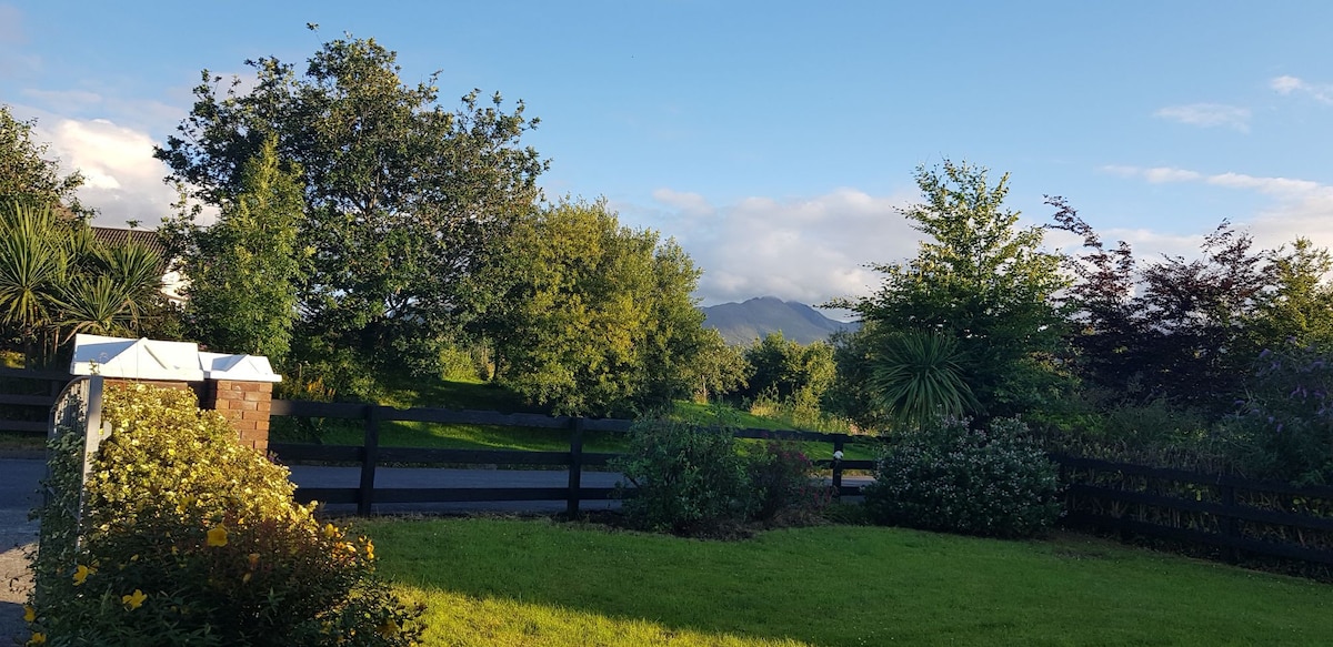 Man-made underground passage in BeaufortMan-made underground passage · 1289 yd
 Castle (in Ruins)Castle, tower house · 1.2 mi
 Japanese pagoda treeJapanese pagoda tree · 1.3 mi
 European YewEuropean Yew · 1.3 mi
 Dunloe Ogham StonesHeritage attraction · 1.4 mi
 The Kerry Creamery ExperienceHeritage attraction · 2.9 mi
 Rabbit or Brown IslandIslet · 3.3 mi
 O'Sullivan's CascadeWaterfall · 3.6 mi
Other information
Photo: Credit not shown in the picture search · Rights wording not checked; contact us if this picture should be removed