What is recorded here
Maulagh and Derrymacar, killorglin, Fossa and Kilgarvan are scattered across a small corner of Ireland. Some are townlands, some are villages, and some are landmarks within them. They belong to the same region, but they are not one place.
In pasture, c. 100m S of the Killorglin-Fossa road. A circular enclosure (diam. c. 20m) is visible as a shadow site in an aerial photograph (OSAP, 2114) taken in 1989. This rath is not visible at ground level. In the 1930s Capt. D. B. O'Connell noted that the rath was overgrown by trees and laurels but that two 'rings' could still be traced (SMR file). This suggests that the rath was bivallate.
Compiled by: Elizabeth Byrne, Ursula Egan and Sheila Ronan, Archaeological Survey Unit, University College, Cork.
Date of upload: 31 January 2011
The monument record does not grant public access. Check the route and ask the landowner before entering private land.
- What survives
- Recorded monument
Places near here
 Fulacht FianFulacht fia · 350 yd
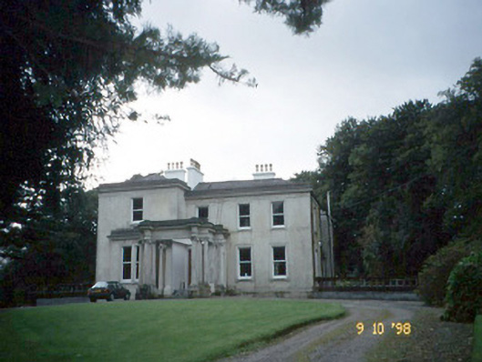 Lakeviewhouse · 546 yd
 Killalee Church (in Ruins)Church · 604 yd
 Enclosure in Dromin (magunihy By., Lahard Ed)Enclosure · 722 yd
 Castle (in Ruins)Castle, tower house · 1.6 mi
 Parkavonear CastleCastle · 1.6 mi
 Japanese pagoda treeJapanese pagoda tree · 1.6 mi
 Aghadoe Early Medieval Ecclesiastical SiteHeritage attraction · 1.7 mi
 Rabbit or Brown IslandIslet · 1.7 mi
 Dunloe Ogham StonesHeritage attraction · 1.9 mi
 Lamb IslandIsland · 2.2 mi
 European YewEuropean Yew · 2.3 mi