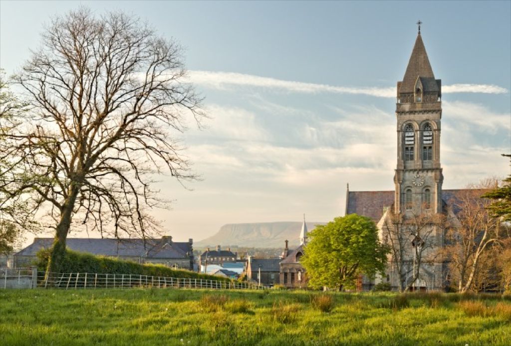
What is recorded here
Situated on a low rise in pasture. Substantially raised circular area (diam. c.16.5m) defined by at NW and E by broadly slumped remnants of a bank (Wth 4.6-7m; int. H 0.2-0.3m; ext H 1.5-2m), and elsewhere by a scarp. At the outer foot of the scarp and bank at NW there is a wide fosse (Wth 6.6m) with an external bank (Wth 5.7m; int. H 1.1m; ext. H 0.8m, at NW). An E-W field fence truncates the fosse and external bank at N. Elsewhere the fosse can be discerned only as a shallow depression and the external bank has been removed. At SE a break (Wth 2m) in the scarp, faced on the NE side with stones, represents the original entrance. The E half of the rath is rath is bisected by a N-S field fence.
Compiled by: Patrick F. O'Donovan
Date of upload: 19 January 2011
This remains an important historical record, but the official description says the monument is no longer visible or has been destroyed. The monument record does not grant public access. Check the route and ask the landowner before entering private land.
- What survives
- No visible remains or recorded as destroyed
Places near here
 Enclosure in BallyfarisEnclosure · 248 yd
 Hut site in BallyfarisHut site · 377 yd
 Fortlaurel Househouse · 681 yd
 Templeboy Church (in Ruins)Church · 1.2 mi
 Aughris BeachBeach / strand · 1.6 mi
 Aughris HeadHeadland · 1.9 mi
 Dunmoran StrandBeach / strand · 2.0 mi
 CastleCastle, tower house · 2.0 mi
 Knockalongy North-East TopMountain / peak · 3.5 mi
 DonaghHeadland · 3.6 mi
 KnockalongyMountain / peak · 3.8 mi
 Site of Dunneill CastleCastle, unclassified · 4.1 mi
Other information
Photo: Credit not shown in the picture search · Rights wording not checked; contact us if this picture should be removed