What is recorded here
Situated on a low rise in pasture. Depicted as a triangular field on the 1913 edition of the OS 6-inch map. Raised roughly triangular area (c. 50m NE–SW; c. 45m NW–SE) whose SW and SE sides are defined by a substantial earthen (Wth 7m on SE side, 5.4m on SW side; int. H 0.5-9m; ext. H 1.6-1.9m), with an external fosse (Wth 5-6m; ext. D 1.2m) which is clearly defined only at SE side and at S. At the outer lip of the fosse at E are traces of a possible second bank (Wth. 3.4m). The N side of the triangle has been levelled and its outline is barely discernible. A break (Wth 2.5m) in the bank, with accompanying causeway across the fosse, in the centre of SE side, represents the original entrance. The N half of the enclosure is bisected by an ENE-WSW field boundary.
Compiled by: Patrick F. O'Donovan
Date of upload: 19 January 2011
The monument record does not grant public access. Check the route and ask the landowner before entering private land.
- What survives
- Recorded monument
Places near here
 Enclosure in BallyfarisEnclosure · 387 yd
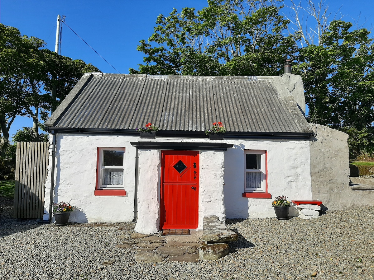 Hut site in BallyfarisHut site · 395 yd
 Fortlaurel Househouse · 702 yd
 Templeboy Church (in Ruins)Church · 1.1 mi
 Aughris BeachBeach / strand · 1.4 mi
 Aughris HeadHeadland · 1.7 mi
 Dunmoran StrandBeach / strand · 1.9 mi
 CastleCastle, tower house · 2.1 mi
 DonaghHeadland · 3.5 mi
 Knockalongy North-East TopMountain / peak · 3.8 mi
 KnockalongyMountain / peak · 4.0 mi
 Site of Dunneill CastleCastle, unclassified · 4.1 mi