
What is recorded here
Marked as a D-shaped enclosure (dims. c. 80m E-W; c. 50m N-S) truncated at N by an E-W field bank and townland boundary with Ardnagowna on the 1837 and 1914 eds of the OS 6-inch map, and situated on a slight E-facing slope. Described as a semicircular area (diam. 77m E-W) defined by a gapped earthen bank E-S-W and an E-W field wall at N, with a causeway entrance (Wth 2m) at E (Gannon 1972). It is not now visible at ground level in pasture, although a fosse is visible on OSI images (2005). Rath (RO016-133----) is c. 200m to the SW.
Compiled by: Michael Moore
Date of upload: 24 August 2010
The monument record does not grant public access. Check the route and ask the landowner before entering private land.
- What survives
- Recorded monument
Places near here
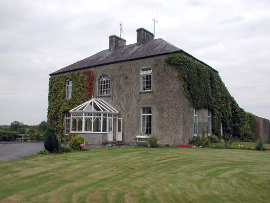 Smith Hill Housecountry house · 576 yd
 Bivallate enclosureFairy fort / earthen ringfort · 1097 yd
 RookeryFairy fort / earthen ringfort · 1158 yd
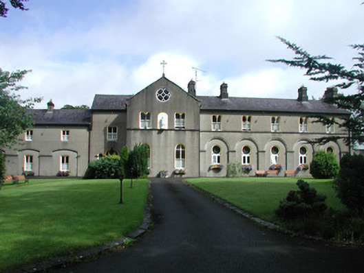 Archbold Houseconvent/nunnery · 1581 yd
 War of Independence Commemorative Military MemorialMemorial · 2.1 mi
 Coolnahinch WoodWood · 3.1 mi
 Church WoodWood · 3.4 mi
 Castle (Site of)Castle, unclassified · 3.8 mi
 Strokestown House GardensHeritage attraction · 5.7 mi
 CastleCastle, unclassified · 5.7 mi
 Strokestown ParkHeritage attraction · 5.8 mi
 ToberagullaSpring · 6.5 mi
Other information
Photo: Credit not shown in the picture search · Rights wording not checked; contact us if this picture should be removed