What is recorded here
Located at the top of the steep W-facing slope down to the SW-NE River Boyne where the stream is about 100m to the W and turning N. The parish church of Ardmulchan (ME025-020----) is within a subrectangular graveyard (dims c. 48-58m E-W; c. 35m N-S at E to c. 57m N-S at W) defined by masonry walls. The cross-slab (ME025-020002-) and three graveslabs are within the graveyard.
Compiled by: Michael Moore
Date of upload:11 September, 2014
The monument record does not grant public access. Check the route and ask the landowner before entering private land.
- What survives
- Recorded monument
Places near here
 Church (in Ruins)Church · 13 yd
 CastleCastle, motte · 109 yd
 Enclosure in ArdmulchanEnclosure · 243 yd
 Dunmoe CastleCastle, unclassified · 729 yd
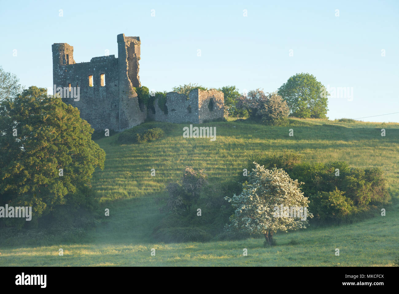 Enclosure in DunmoeEnclosure · 1153 yd
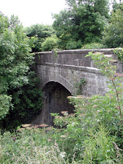 Thompson Bridgebridge · 1691 yd
 Rowley's WoodWood · 1.1 mi
 Cocker's WoodWood · 1.4 mi
 Donaghmore Round TowerHeritage attraction · 1.5 mi
 Carn HillMountain / peak · 1.5 mi
 Nangle CourtMemorial · 2.8 mi
 RiverviewMemorial · 4.1 mi