What is recorded here
On a slight rise in a wet low-lying landscape with a stream c. 40-50m to the W and N. Rectangular grass-covered area (dims 32.5m N-S; 26m E-W) defined by a gapped earthen bank with some bushes (at E: Wth 3m; int H 0.3-0.65m; ext. H 1) at the N, E and S sides which is reduced to a scarp (H 0.8-1.2m) at the W side, with complete outer flat-bottomed moats (Wth. of top 4.2-4.8m; Wth of base 3-3.8m; D 0.3-0.4m). There is a house-site (RO010-038002-) immediately outside the fosse at N, visible as a rectangular grass-covered area (int. dims 4.7m E-W; 3.4m N-S) defined by a stone spread (Wth 1.5m; H 0.1m) with an entrance (Wth 1.2m) on the E side. Moated site (RO010-039001-) is c. 100m to the SSE.
Compiled by: Michael Moore
Date of upload: 29th September, 2010
The monument record does not grant public access. Check the route and ask the landowner before entering private land.
- What survives
- Recorded monument
Places near here
 IndicatedFairy fort / earthen ringfort · 840 yd
 ToberlonaunHoly well · 1017 yd
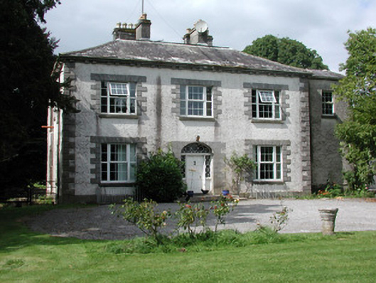 Moylurg Housecountry house · 1459 yd
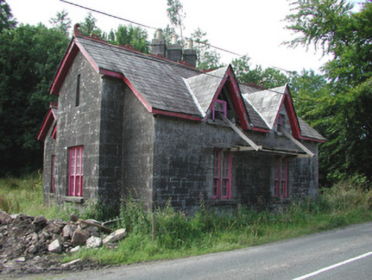 Croghan Schoolschool · 1564 yd
 Moylung Castle (in ruins)Castle, unclassified · 1593 yd
 Castle (Site of)Castle, unclassified · 2.6 mi
 Lough Key Forest ParkWood · 3.8 mi
 Longford HillMountain / peak · 4.1 mi
 Horse-chestnutHorse-chestnut · 4.1 mi
 Erris BayBay · 4.2 mi
 Western RedcedarWestern Redcedar · 4.2 mi
 Boyle AbbeyHeritage attraction · 4.2 mi