What is recorded here
Indicated is a low circular mound in County Cavan, marked Fort on old maps and hidden inside a plantation of deciduous and coniferous trees. Its ridge barely rises forty centimetres above the ground, yet it still forms a complete circle around a shallow depression near the centre. The land has forgotten most of its shape, but enough remains to suggest people once built, used and then abandoned a place now reduced to a subtle change in soil and shadow.
Marked 'Fort' on OS 1836 and 1876 eds. Situated within a plantation of deciduous and coniferous trees. A poorly preserved low circular mound (diam c. 20m N-S; H c. 0.4m) defined by a low scarp. This is clearly identifiable from NE-S-W; elsewhere it is largely levelled. Immediately NNW of centre is a roughly circular shallow depression (diam c. 9m).
The above description is derived from the published 'Archaeological Inventory of County Cavan' (Dublin: Stationery Office, 1995). In certain instances the entries have been revised and updated in the light of recent research.
Date of upload/revision: 22 December 2008
The monument record does not grant public access. Check the route and ask the landowner before entering private land.
- What survives
- Recorded monument
Places near here
 EnaghMountain / peak · 572 yd
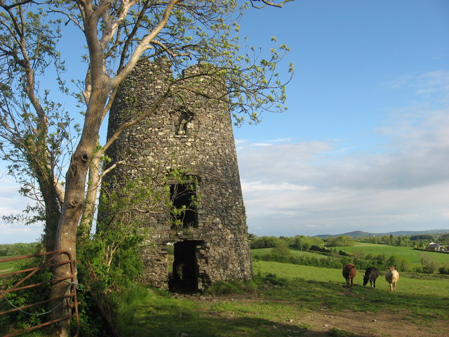 Windmill in Enagh (crossbane Ed)Windmill · 581 yd
 IndicatedHoly well · 759 yd
 Ardlow National Schoolschool · 851 yd
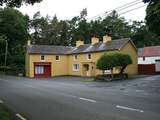 P. Morganfarm house · 1298 yd
 CornasheskMountain / peak · 1681 yd
 The Big Man's GraveArchaeological place · 1.5 mi
 Carraig-na-SasanacNamed rock · 1.5 mi
 Doon Wet WoodlandWood · 1.8 mi
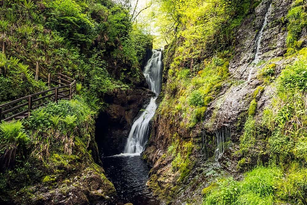 Annagharnet North ForestForest · 1.8 mi
 Birthplace of General Philip SheridanMemorial · 1.9 mi
 RahardrumCastle, unclassified · 2.2 mi