
What is recorded here
Indicated is a fairy fort on a steep south-facing slope in County Cork, Ireland. Its earthen bank rises 3.55m externally, encloses a circular grazing area, and leaves a gap toward the southwest. The interior slopes downhill, marking an old burial ground where human bodies may have rested beneath the living grass.
In rough grazing on steep S-facing slope. Circular area (28m N-S; 31m E-W) enclosed by earthen bank (int. H 1m; ext. H 3.55m) E->W and by sharp rise (H 2.10m) W->E. Gap in bank to SW. Interior cut into hillslope on N side and slopes downhill to S. Used as burial ground (CO102A00101-).
The above description is derived from the published 'Archaeological Inventory of County Cork. Volume 1: West Cork' (Dublin: Stationery Office, 1992). In certain instances the entries have been revised and updated in the light of recent research.
Date of upload/revision: 14 January 2009
The monument record does not grant public access. Check the route and ask the landowner before entering private land.
- What survives
- Recorded monument
Places near here
 Fish palace in Ardgroom InwardFish palace · 166 yd
 Ardgroom Pulleen LoopWalking route · 885 yd
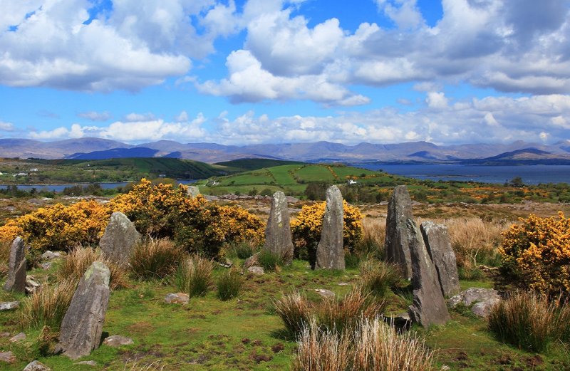 Dromard FortFairy fort / earthen ringfort · 1457 yd
 Bird IslandIslet · 1.3 mi
 Glashananinnaun Br.Bridge · 1.3 mi
 Cappul Bridgebridge · 1.3 mi
 Drung HillMountain / peak · 2.0 mi
 Keeragh MountainMountain / peak · 2.1 mi
 Sherky IslandIslet · 2.4 mi
 Coral BeachBeach / strand · 3.9 mi
 Habitat of DerreeniesNature reserve · 4.4 mi
 Japanese cedarJapanese cedar · 4.4 mi
Other information
Photo: Credit not shown in the picture search · Rights wording not checked; contact us if this picture should be removed