What is recorded here
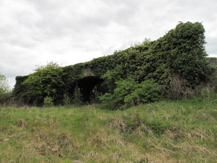
Situated in a small pot-lake (diam. c. 100m) on the boundary with Co. Fermanagh which lies to the E. A circular feature (diam. c. 20m) is depicted on the 1834 edition of the OS 6-inch map. The lake is now an overgrown bog, but no archaeological feature can be detected. Revised by: Michael Moore
Date of revision: 4 May 2018
From the National Monuments Service (Archaeological Survey of Ireland) record MO016-008
Places near here
Photo credits
- National Inventory of Architectural Heritage
- Christian Pirkl, Wikimedia Commons · CC BY-SA 3.0 at
- Sitomon, Wikimedia Commons · CC BY-SA 2.0
- Kenneth Allen, Geograph · CC BY-SA 2.0
- Andreas F. Borchert, Wikimedia Commons · CC BY-SA 4.0
 bridge180 yd
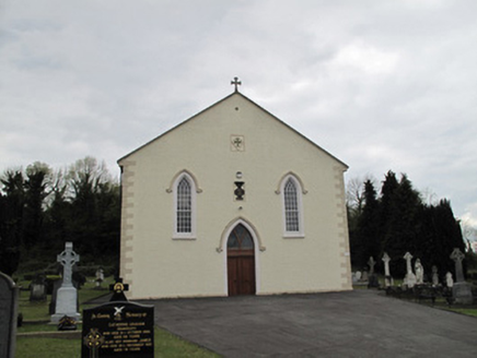 Saint Alphonsus's Catholic ChurchChurch/chapel · 879 yd
 SandhillsMountain / peak · 1.2 miClonandraMountain / peak · 1.3 mi
Explorer Tom Clonandra might have nice rooms nearby, but this peak in County Cavan is all about the outdoors.
Holy WellSpring · 1.3 miRuinsHouse, fortified house · 2.1 miExplorer Tom This fortified house hides in Redhill Demesne, featuring a bolt-hole doorway that surely kept out more than just drafts.
 Sycamore2.2 mi
Explorer Tom Another beautiful Sycamore in County Cavan, likely creating a vibrant canopy that filters sunlight into dappled patterns on the ground beneath it.
 European Yew2.2 mi
Explorer Tom A resilient European Yew in County Cavan, perhaps ancient and slow-growing, with dark green needles that stay lush through the harshest winters.
 Ulster Canal Stores Visitor CentreHeritage attraction · 4.3 mi
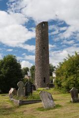 Round Tower4.4 mi
 Shrine in CrossmoyleShrine · 4.4 mi
 The Cassandra Hand CentreMuseum · 4.5 mi
More archaeology and monuments in County Monaghan · All of County Monaghan
What do you know about this place?Tap to add a comment or ask a question