
Places near here
Photo credits
- John M, Geograph · CC BY-SA 2.0
- PST Sport (project contractor and publisher); individual photographer not named, pstsport.com
- Tara GFC (individual photographer not stated), taragfc.co.uk
- Kmcnamee, Wikimedia Commons · CC BY-SA 4.0
- Brendan Moran / Sportsfile, www.irishexaminer.com
- National Inventory of Architectural Heritage
- Real Group Photos / realboyle (Flickr account); individual photographer not stated, www.flickr.com
- Sawyer777, Wikimedia Commons · CC BY-SA 4.0
- Gillaween, Wikimedia Commons · CC BY-SA 4.0
- Bob Embleton, Wikimedia Commons · CC BY-SA 2.0
- Djm-leighpark, Wikimedia Commons · CC BY-SA 4.0
 Finn McCool's MonumentArchaeological place · 2.1 mi
Explorer Tom Finn McCool's Monument in County Leitrim has a fan club that mostly consists of confused tourists and one very loyal…
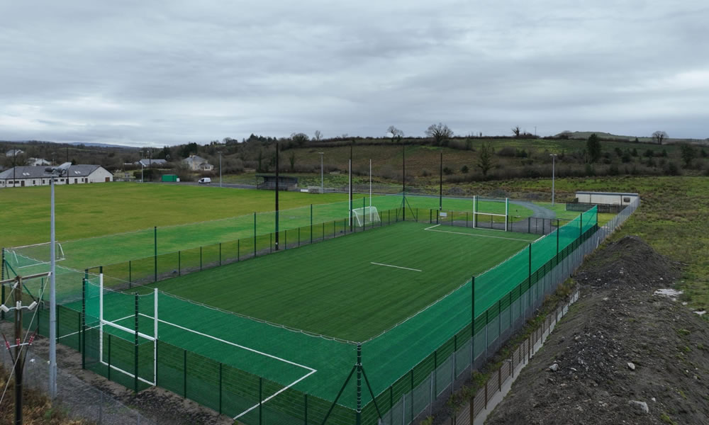 Leitrim Gaels Community FieldGAA ground · 2.6 mi
 Shane McGettigan Park, Allen Gaels GAA, DrumshanboGAA ground · 4.2 mi
 Pairc Naoimh Mhuire, St. Mary's GAA, KiltoghertGAA ground · 4.3 mi
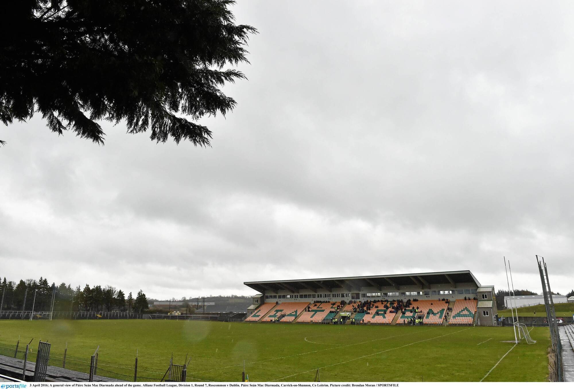 Páirc Seán Mac DiarmadaGAA ground · 4.4 mi
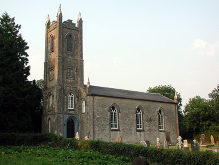 Saint Anne's Church (Annaduff)Church/chapel · 4.7 mi
Explorer Tom Saint Anne's Church (Annaduff) would describe the 1800s to a teenager as 'a time when we had pinnacles and no Wi-Fi'.…
 Abbey Park, Boyle GAAGAA ground · 12 mi
 Queen Medb: RathcroghanLegend location · 18 mi
Explorer Tom Queen Medb: Rathcroghan is where the Táin starts turning a quarrel about a bull into an epic. Medb had a royal seat…
 The Mórrígan: OweynagatLegend location · 18 mi
Explorer Tom The Mórrígan: Oweynagat is called the Cave of Cats, which fooled me into expecting a very ordinary sort of trouble.…
 water pump22 mi
Explorer Tom Water pump in Knockrawer has strict rules: no drinking with plastic cups and leave a penny in the bowl. The carved…
 Tobernalt Holy WellSpring · 25 mi
Explorer Tom Tobernalt Holy Well lies near Lough Gill in County Sligo, where people come to pray, pause and leave the hurry of the…
 ToberanaltHoly well · 25 mi
Explorer Tom Toberanalt holy well has a legend about a hidden tunnel that goes straight to the local pub, but nobody believes me.…
More archaeology and monuments in County Leitrim · All of County Leitrim

What do you know about this place?Tap to add a comment or ask a question