
What is recorded here
Situated on a rise in undulating pasture. Raised circular area (dims. 24.5m N-S; 23.4m E-W) enclosed from NE-E-S by the sod-covered remnants of a bank of earth and stone (Wth. 3.5m; int. H 0.4m) with evidence of possible kerbing. At the outer foot of the bank at S is a low rise (Wth. 1.8m; H 0.4m) which may be collapse or simply field clearance deposits. For the remainder of the circuit the bank has been incorporated into the field boundary. No fosse. Break in bank at E (Wth. 1.8m) may represent original entrance. Immediately inside of this, in the NE quadrant, is a slightly sunken oval feature (dims. 7m E-W; 5m E-W) defined by a setting of stones which may be wall footings. It abutts the bank on its E side. Gap at S (Wth. 1.4m). In the SW quadrant is a small hollow (dims. 1.4m x 0.8m - D 0.3m) with stones protruding from its base.
Compiled by: Patrick F. O'Donovan
Date of upload: 19 January 2011
The monument record does not grant public access. Check the route and ask the landowner before entering private land.
- What survives
- Recorded monument
Places near here
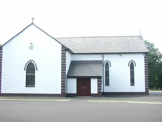 Catholic Church of Saint Peter and Saint Paulchurch/chapel · 189 yd
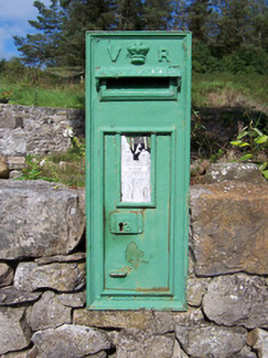 post boxpost box · 296 yd
 Enclosure in Longford DemesneEnclosure · 453 yd
 IndicatedEnclosure · 502 yd
 European ashEuropean ash · 606 yd
 Bawn in Longford DemesneBawn · 769 yd
 Pigeonpark WoodForest · 959 yd
 Giant's GraveArchaeological place · 1.2 mi
 Bawn in Tanrego WestBawn · 2.0 mi
 CloonaghMountain / peak · 2.1 mi
 Lahanacappul IslandIslet · 2.2 mi
 Ballinlig PointHeadland · 2.4 mi
Other information
Photo: Credit not shown in the picture search · Rights wording not checked; contact us if this picture should be removed