
What is recorded here
Situated on a low rise in undulating pasture. Depicted as a copse or quarry on the 1837 edition of the OS 6-inch map. Adjoining the E side of Longford Demesne cashel (SL019-105001-) is a rectangular enclosure (dims. 33.6m N-S; 23.8m E-W) enclosed by a low stone wall (Wth. c.3.5m; H c.0.6m) which is largely obscured by brambles.
Compiled by: Patrick F. O'Donovan
Date of upload: 19 January 2011
The monument record does not grant public access. Check the route and ask the landowner before entering private land.
- What survives
- Recorded monument
Places near here
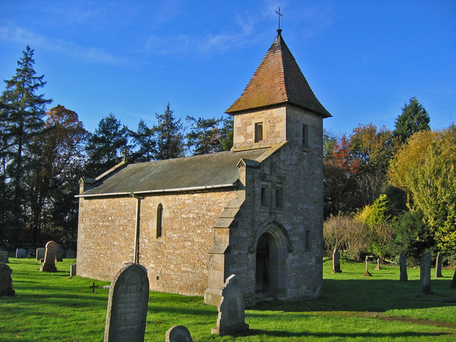 R. C. Chapel in ruinsChurch · 240 yd
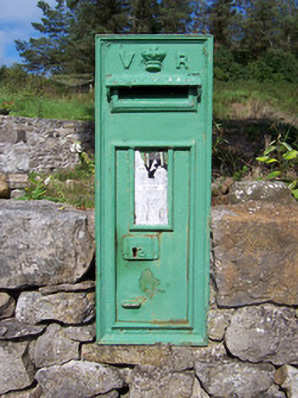 post boxpost box · 250 yd
 Bawn in Longford DemesneBawn · 430 yd
 IndicatedFairy fort / earthen ringfort · 453 yd
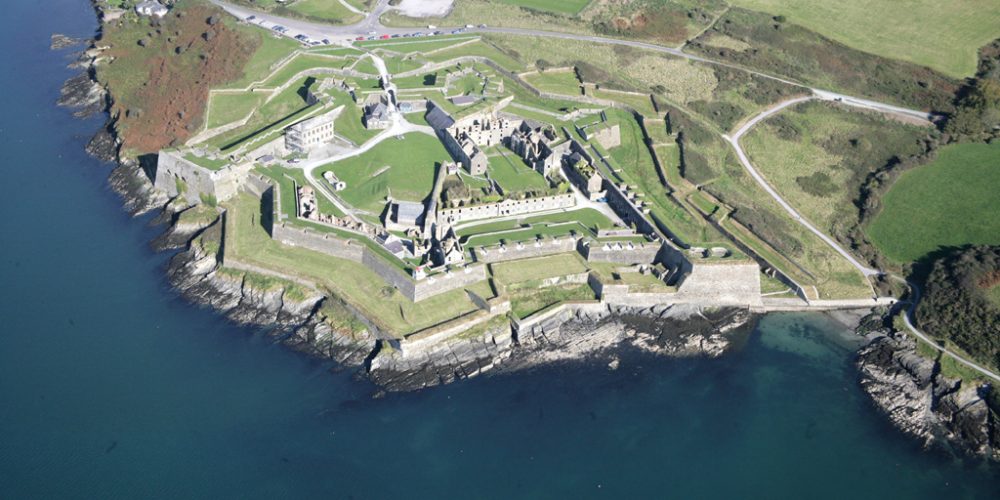 Bastioned fort in UnknownBastioned fort · 563 yd
 Pigeonpark WoodForest · 827 yd
 European ashEuropean ash · 880 yd
 Giant's GraveArchaeological place · 1.1 mi
 CastleCastle, ringwork · 2.0 mi
 CloonaghMountain / peak · 2.1 mi
 Lahanacappul IslandIslet · 2.2 mi
 Ballinlig PointHeadland · 2.4 mi
Other information
Photo: Credit not shown in the picture search · Rights wording not checked; contact us if this picture should be removed