Places near here
Photo credits
- Jonathan Thacker, Geograph · CC BY-SA 2.0
- Mike Searle, Wikimedia Commons · CC BY-SA 2.0
- Mike Searle, Geograph · CC BY-SA 2.0
- National Inventory of Architectural Heritage
- Jonathan Thacker, Wikimedia Commons · CC BY-SA 2.0
 Aghern CastleCastle · 121 yd
Explorer Tom Aghern Castle in County Cork is paired with a house from about 1740 that looks far too fancy. The castle itself dates…
 Aghern HouseCountry house · 138 yd
Explorer Tom "Aghern House is playing it cool with its Georgian bows and serious slate roof. It would survive a reality show by just…
 Country house in Aghern WestCountry house · 139 yd
Explorer Tom Country house in Aghern West was built after a bargain where a man traded his horse for a view of the river. The bow on…
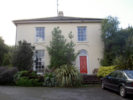 Brideweir HouseRectory/glebe/vicarage/curate's house · 220 yd
Explorer Tom Brideweir House in Knocknagapple would post 'Me and my acorn finials' on social media, but it’s too shy to show its…
 Aghern BridgeBridge · 313 yd
Explorer Tom Aghern Bridge is built by skilled craftsmen who clearly thought rubble limestone was just too easy for them. The…
 Saint James' ChurchChurch/chapel · 406 yd
Explorer Tom Saint James' Church in Aghern East has sandstone pinnacles that point at the sky like it’s accusing God of something.…
 Douglas VillaHouse · 1.4 mi
Explorer Tom Douglas Villa is wearing its Tudor Revival bargeboards like they were custom-tailored for a royal visit that never…
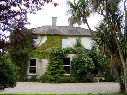 Conna HouseHouse · 1.6 mi
Explorer Tom Conna House in Conna was nearly sold for a horse because nobody saw past the porch. Its classical restraint is so…
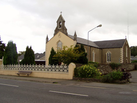 Saint Catherine's ChurchChurch/chapel · 1.9 mi
Explorer Tom Saint Catherine’s Church in Conna got remodeled into Gothic Revival style later on. It has strong opinions about modern…
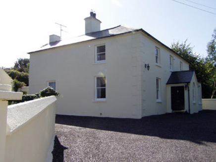 presbytery/parochial/curate's house1.9 mi
Explorer Tom Presbytery in Conna is a detached parochial house built around 1870. It’s got a gabled porch and hipped canted-bay…
 Old Railway ViaductViewpoint · 5.7 mi
Explorer Tom Old Railway Viaduct has a retirement plan that involves becoming a very expensive bird feeder. It’s got iron girders…
 Licklash Castle (in Ruins)Castle, hall-house · 5.9 mi
Explorer Tom Licklash Castle is perched on a cliff edge like it’s ready to jump ship at any moment. Legend says smugglers used to…
More historic places in County Cork · All of County Cork

What do you know about this place?Tap to add a comment or ask a question