Places near here
Photo credits
- National Inventory of Architectural Heritage
- Daragh Mc Kenna, Wikimedia Commons · CC BY-SA 4.0
- Wanfried-Dublin, Wikimedia Commons · CC BY-SA 4.0
- Sitomon, Wikimedia Commons · CC BY-SA 2.0
- Oliver Dixon, Geograph · CC BY-SA 2.0
- Alvesgaspar, Wikimedia Commons · CC BY-SA 3.0
- Garry Dickinson, Geograph · CC BY-SA 2.0
- Mike Searle, Geograph · CC BY-SA 2.0
- Kevgorman, Wikimedia Commons · CC BY-SA 4.0
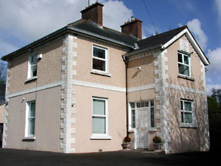 presbytery/parochial/curate's house1.0 mi
 Catholic Church of the Sacred HeartChurch/chapel · 1.0 mi
Explorer Tom Catholic Church of the Sacred Heart in Eden is guarding a secret: a curse on anyone who forgets to wave at the spire. If you don’t, your phone dies instantly. Bring wellies and a friendly hello.
 Portal tomb in ErveyPortal tomb · 1.6 miUghtyneillMountain / peak · 2.9 mi
 European Yew3.2 mi
Explorer Tom European Yew in Meath is a real diva, probably planning to buy a yacht if it hits the lotto. It just stands there looking smug and ancient. Ideal for a moody photo you'll pretend wasn't posed.
Gallows HillMountain / peak · 3.5 mi Fair of MuffMemorial · 3.7 mi
Explorer Tom Fair of Muff is sick of being asked if it’s still selling horses when it’s mostly just remembering how to do it properly now. Spot the oldest stone and give it a name; I bet it has a better story than most people in town anyway.
 Common Lime3.8 mi
Explorer Tom Common Lime in County Meath would tell a teenager that the 1800s were basically just a really long, damp argument with no Wi-Fi. It’s been standing there judging everyone since then. Find the date carved somewhere and feel clever.
 Bawn in Robertstown (kells Lower By.)Bawn · 4.0 mi
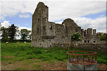 IndicatedHouse, fortified house · 4.0 miNobber GreenwayMemorial · 4.2 mi
 Grave YardGraveyard · 5.0 mi
Explorer Tom Graveyard in Relagh Beg is walled off like it's protecting a state secret. The gate has a date on it, but I'd bet good money it's wrong. It's the kind of place that makes a dull Tuesday interesting, trust me.
More archaeology and monuments in County Meath · All of County Meath

What do you know about this place?Tap to add a comment or ask a question