What is recorded here
Towards the top of the SE-facing slope of a drumlin. Circular overgrown area (diam. 26m E-W) defined by an earthen bank (Wth 3.2-3.8m; int. H 0.3m; ext. H 0.7m) WSW-N and a scarp (at S: H 0.9m) elsewhere. There is no visible fosse or entrance, but there is a rectangular enclosure or annexe (RO003-013002-) (dims. 19m E-W; 11m N-S) defined by scarps (H 0.3-1.5m) attached to the perimeter at S. Cashel (RO003-014----) is c. 190m to the ESE.
Towards the top of the SE-facing slope of a drumlin. Circular overgrown area (diam. 26m E-W) defined by an earthen bank (Wth 3.2-3.8m; int. H 0.3m; ext. H 0.7m) WSW-N and a scarp (at S: H 0.9m) elsewhere. There is no visible fosse or entrance, but there is a rectangular enclosure or annexe (RO003-013002-) (dims. 19m E-W; 11m N-S) defined by scarps (H 0.3-1.5m) attached to the perimeter at S. Cashel…
From the National Monuments Service (Archaeological Survey of Ireland) record RO003-013001
The monument record does not grant public access. Check the route and ask the landowner before entering private land.
- What survives
- Recorded monument
Places near here
Photo credits
- National Inventory of Architectural Heritage
- Oliver Dixon, Geograph · CC BY-SA 2.0
- Daniel Waters, Co. Sligo, Ireland from Ireland, Wikimedia Commons · CC BY 2.0
- N Chadwick, Geograph · CC BY-SA 2.0
- Gavigan 01 at English Wikipedia, Wikimedia Commons · CC BY 2.5
- Kieran Campbell, Wikimedia Commons · CC BY-SA 2.0
- abdallahh from Montréal, Canada, Wikimedia Commons · CC BY 2.0
- Stephan van Helden, Wikimedia Commons · CC BY-SA 4.0
- jbraine, Wikimedia Commons · CC BY 2.0
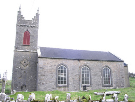 Saint Thomas's Church (Kilmactranny)Church/chapel · 1.4 mi
 Loughbrick BayBay · 1.9 mi
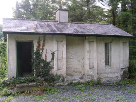 Hollybrook HouseGate lodge · 2.8 mi
 Ballinafad CastleCastle · 2.9 mi
 Hog's IslandIslet · 3.0 mi
 Ballindoon Castle (in Ruins)Castle, unclassified · 3.2 mi
 Barroe NorthMountain / peak · 3.5 mi
 Battle of Curlew PassMajor battlefield · 3.5 mi
 Giants GravePortal tomb · 3.8 mi
 Western Redcedar4.1 mi
 Horse-chestnut4.2 mi
 Lough Key Forest ParkWood · 4.4 mi
More archaeology and monuments in County Roscommon · All of County Roscommon
What do you know about this place?