What is recorded here
Located at the crest of the S-facing slope at the S end of a NNW-SSE drumlin ridge. This cairn is depicted as a small circular enclosure on the 1835 edition of the OS 6-inch map, and it is described as a ‘Carn’ only on the 1945 revision. It is a grass and tree-covered subcircular earth and stone mound (dims 15.5m E-W; 11m N-S; max. H 1.9m), which is truncated slightly by a field wall at S, although the wall curves S slightly in an attempt to avoid it.
The above description is derived from 'The Archaeological Inventory of County Leitrim' compiled by Michael J. Moore (Dublin: Stationery Office, 2003). In certain instances the entries have been revised and updated in the light of recent research.
Compiled by: Michael Moore
Date of upload: 23 September 2008
Amended: 5 December 2019
A Neolithic passage tomb; dates to the late 4th to early 3rd millennium BCE. It is significant as part of a broader network of megalithic tombs in the Boyne Valley area, associated with early ceremonial and funerary practices.
The monument record does not grant public access. Check the route and ask the landowner before entering private land.
- What survives
- Recorded monument
Places near here
 Tober PatrickHoly well · 1.3 mi
 Tober RonanHoly well · 1.8 mi
 indicatedBawn · 2.0 mi
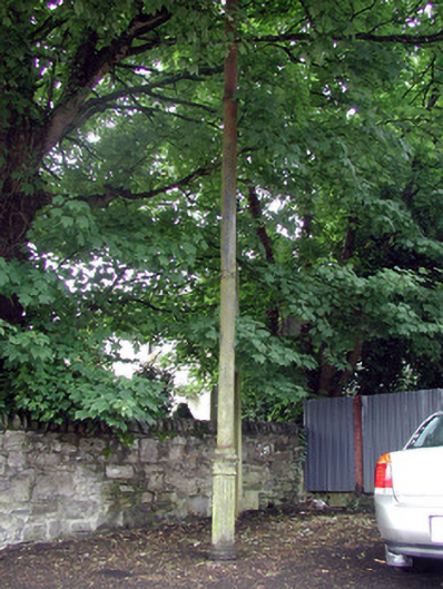 vent pipevent pipe · 2.0 mi
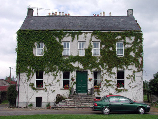 The Castlehouse · 2.0 mi
 Turlough O'Carolan MonumentHeritage attraction · 2.1 mi
 Giant's GraveArchaeological place · 3.4 mi
 Sessile OakSessile Oak · 3.4 mi
 Little IslandIslet · 3.9 mi
 Duck IslandIslet · 4.0 mi
 Lawson's CypressLawson's Cypress · 4.1 mi
 CastleCastle, tower house · 4.4 mi