What is recorded here
Located at the crest of the S-facing slope at the S end of a NNW-SSE drumlin ridge. This cairn is depicted as a small circular enclosure on the 1835 edition of the OS 6-inch map, and it is described as a ‘Carn’ only on the 1945 revision. It is a grass and tree-covered subcircular earth and stone mound (dims 15.5m E-W; 11m N-S; max. H 1.9m), which is truncated slightly by a field wall at S, although the wall curves S slightly in an attempt to avoid it. Moore (Dublin: Stationery Office, 2003).
Located at the crest of the S-facing slope at the S end of a NNW-SSE drumlin ridge. This cairn is depicted as a small circular enclosure on the 1835 edition of the OS 6-inch map, and it is described as a ‘Carn’ only on the 1945 revision. It is a grass and tree-covered subcircular earth and stone mound (dims 15.5m E-W; 11m N-S; max. H 1.9m), which is truncated slightly by a field wall at S, although the wall…
From the National Monuments Service (Archaeological Survey of Ireland) record LE032-017
The monument record does not grant public access. Check the route and ask the landowner before entering private land.
- What survives
- Recorded monument
Places near here
Photo credits
- National Inventory of Architectural Heritage
- Maker named on the Wikimedia Commons picture page · CC BY-SA 2.5
- jonleebotany, Wikimedia Commons · CC0
- SE Keenan, Wikimedia Commons · CC BY-SA 4.0
- Fifiheavey, Wikimedia Commons · CC BY-SA 4.0
- John M, Geograph · CC BY-SA 2.0
indicatedBawn · 2.0 mi vent pipe2.0 miThe CastleHouse · 2.0 miTurlough O'Carolan MonumentHeritage attraction · 2.1 miGiant's GraveArchaeological place · 3.4 miSessile Oak3.4 miLittle IslandIslet · 3.9 miDuck IslandIslet · 4.0 miLawson's Cypress4.1 miLough Rynn HouseCastle · 4.2 miGraveyard4.8 miFinn McCool's MonumentArchaeological place · 5.4 mi
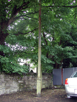 vent pipe2.0 mi
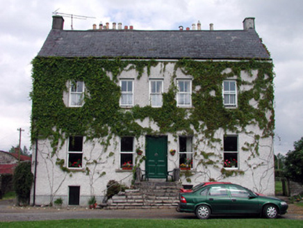 The CastleHouse · 2.0 miTurlough O'Carolan MonumentHeritage attraction · 2.1 miGiant's GraveArchaeological place · 3.4 mi
 Sessile Oak3.4 miLittle IslandIslet · 3.9 miDuck IslandIslet · 4.0 mi
 Lawson's Cypress4.1 mi
 Lough Rynn HouseCastle · 4.2 mi
 Graveyard4.8 mi
 Finn McCool's MonumentArchaeological place · 5.4 mi
More archaeology and monuments in County Leitrim · All of County Leitrim
What do you know about this place?