What is recorded here
On a steep SW-facing slope of Slieve Bawn. Circular and densely overgrown area (diam. c. 35m) defined by an earthen bank (Wth 3.2m; int. H 0.4m; ext. H 1.2m) and outer fosse (Wth of base 1.8m; D 0.3-0.4m) which does not survive at E. There is no identifiable original entrance.
From the National Monuments Service (Archaeological Survey of Ireland) record RO036-007
The monument record does not grant public access. Check the route and ask the landowner before entering private land.
- What survives
- Recorded monument
Places near here
 Slieve BawnMountain / peak · 1085 ydIndicatedFairy fort / earthen ringfort · 1465 ydEmbanked enclosureFairy fort / earthen ringfort · 1750 yd
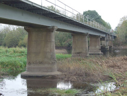 bridge3.8 mi
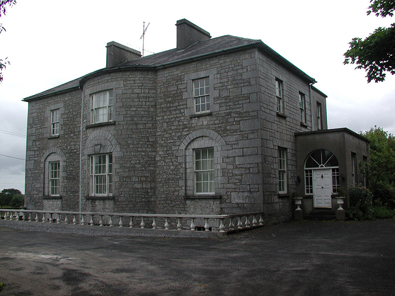 The GlebeRectory/glebe/vicarage/curate's house · 3.8 miBallyclare IslandIslet · 4.4 mi
 Strokestown House GardensHeritage attraction · 4.5 mi
 Common Lime4.5 mi
 Strokestown ParkHeritage attraction · 4.5 mi
 Sweet Chestnut4.8 mi
 Rathcline CastleBawn · 5.2 mi
 Rathcline CastleHouse, fortified house · 5.2 mi
Pictures: Colin Park, Geograph · CC BY-SA 2.0; National Inventory of Architectural Heritage; Christopher Hilton, Wikimedia Commons · CC BY-SA 2.0; Alvesgaspar, Wikimedia Commons · CC BY-SA 3.0; Laurel Lodged, Wikimedia Commons · CC0; Miguel Angel Masegosa Martínez, Wikimedia Commons · CC BY 2.0; Kieran Campbell, Geograph · CC BY-SA 2.0; Mike Searle, Geograph · CC BY-SA 2.0
More archaeology and monuments in County Roscommon · All of County Roscommon
What do you know about this place?