
What is recorded here
Indicated is a hidden fairy fort in County Longford, marked only by a low rise now swallowed by coniferous trees. The fort vanished from human sight, yet it remains named, remembered and recorded on the land. What people stopped seeing, the keepers may have begun occupying.
On a low but prominent rise in otherwise low-lying pasture. Depicted as a circular enclosure with the designation ‘Fort’ on the 1837 edition of the OS 6-inch map. A report in 1975 (SMR file) recorded a raised circular area (diam. c. 28m) defined by a scarp with an external fosse and a low outer bank. The original entrance was not recognisable. The rath is not visible at ground level. A plantation of coniferous trees is established here.
Compiled by: Patrick F. O'Donovan
Date of upload: 22 November 2011
The monument record does not grant public access. Check the route and ask the landowner before entering private land.
- What survives
- Recorded monument
Places near here
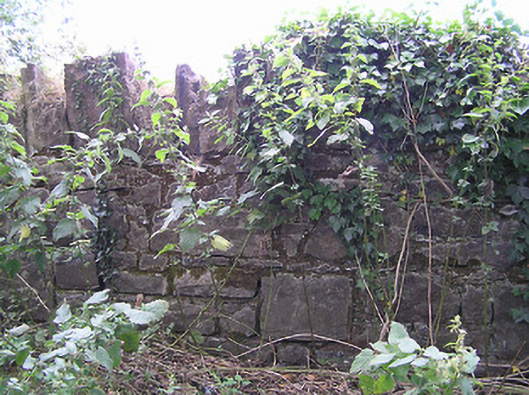 demesne walls/gates/railingsdemesne walls/gates/railings · 521 yd
 CastleCastle, unclassified · 838 yd
 Enclosure in Tully (granard By.)Enclosure · 957 yd
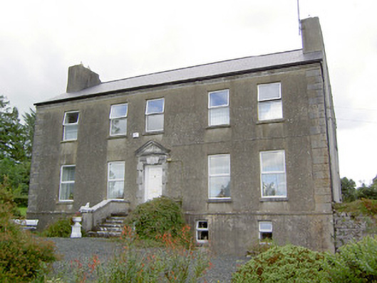 Spring Parkcountry house · 971 yd
 Walshs FortFairy fort / earthen ringfort · 1192 yd
 Clonfin Ambush MemorialMemorial · 1.5 mi
 Moat & FortCastle, motte and bailey · 2.0 mi
 Cloonfin WoodForest · 2.7 mi
 Granard MotteMotte-and-bailey castle remains · 3.1 mi
 1798 Monumentmonument · 3.2 mi
 Edgeworthstown BypassMemorial · 4.3 mi
 Ballinalee Forest WalkForest · 4.3 mi
Other information
Photo: Credit not shown in the picture search · Rights wording not checked; contact us if this picture should be removed