
What is recorded here
Inchmore Island holds a triangular bastion that no history explains, its sharp angle pointing south like a finger accusing the quiet water. The main fort appeared on maps in 1837, but the angular projection defies every known purpose, suggesting either a forgotten military experiment or a boundary marker for something nobody admitted. When Lough Gowna dropped in the twentieth century, the lake pulled back and revealed how much of the structure depended on water for its meaning. The islet keeps its secret in bare earth now, waiting for someone brave enough to ask what the triangle was really aiming at.
Inchmore is recorded as a islet in County Longford. Its open map record supplies this location and any linked names or public references.
Places near here
 Abbey (in Rns)Religious house, Augustinian canons · 121 yd
 Columbkilles StoneRitual site, holy/saint's stone · 126 yd
 Fortification in Inchmore IslandFortification · 252 yd
 Derrycassan WoodsWood · 1.0 mi
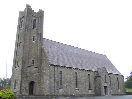 Saint Columba's Catholic Churchchurch/chapel · 2.0 mi
 Mulrick WoodlandForest · 2.5 mi
 BawnBawn · 2.6 mi
 Arnaghan SouthMountain / peak · 3.0 mi
 Cloone Ho.Castle, unclassified · 3.3 mi
 CornagranMountain / peak · 3.4 mi
 Scrabby IslandIslet · 3.4 mi
 White IslandIslet · 4.0 mi
Other information
Photo: Credit not shown in the picture search · Rights wording not checked; contact us if this picture should be removed