
What is recorded here
Situated on a natural hillock in flat pasture with a nearby motte (TN034-090002) to the E. Listed in the ecclesiastical taxation of the Diocese of Cashel in 1302 (CDI, vol. 5, 284). The poorly preserved ivy-clad remains of a simple rectangular church (ext. dims. 10.4m N-S; 22.6m E-W; wall T 0.9m) constructed with roughly coursed limestone rubble. A round-arched punch- dressed chamfered doorway lies at the W end of the S wall with a carved head which acted as a possible hood-moulding terminal to the W of the doorway. The carved head is pear-shaped with a grooved neck, incised ears, open mouth, oval eyes, incised hair across the forehead and a flat protruding nose. A nineteenth-century Gothic-style pointed doorway directly opposite the main entrance in the N wall gives access to a burial vault. The E gable has a twin-light ogee-headed window with finely punch-dressed jambstones. There are no visible remains of the broken piscina in the N wall described in the ITA survey in 1945. The graveyard (TN034-090005) has eighteenth and nineteenth-century headstones visible and is enclosed by a nineteenth-century stone wall.
The above description is derived from 'The Archaeological Inventory of County Tipperary. Vol. 1 - North Tipperary' compiled by Jean Farrelly and Caimin O'Brien (Dublin: Stationery Office, 2002). In certain instances the entries have been revised and updated in the light of recent research.
Date of upload/revision: 22 September 2008
This remains an important historical record, but the official description says the monument is no longer visible or has been destroyed. The monument record does not grant public access. Check the route and ask the landowner before entering private land.
- What survives
- No visible remains or recorded as destroyed
Places near here
 CastleCastle, unclassified · 40 yd
 ToberfelimHoly well · 353 yd
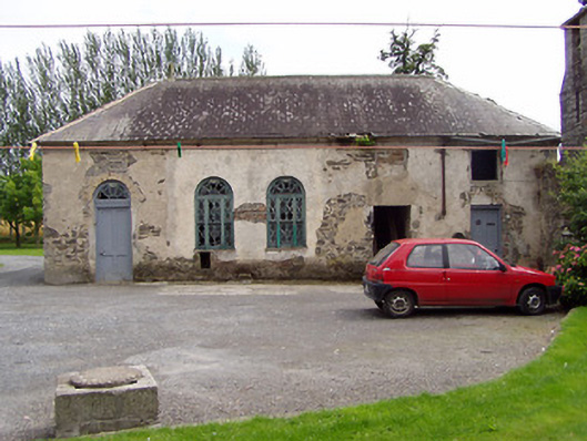 Inch Househouse · 409 yd
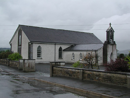 Catholic Church of Saint Laurence O'Toolechurch/chapel · 1040 yd
 Enclosure in Magherareagh (inch Par.)Enclosure · 1065 yd
 Bawn in AnnfieldBawn · 1539 yd
 Pallas HillMountain / peak · 2.0 mi
 Kilvilcorris BogForest · 2.4 mi
 KnockaneMountain / peak · 2.6 mi
 Cormackstown Heritage CentreMuseum · 4.7 mi
 European ashEuropean ash · 5.2 mi
 Lár na PáirceMuseum · 5.6 mi
Other information
Photo: Credit not shown in the picture search · Rights wording not checked; contact us if this picture should be removed