
What is recorded here
M. Moore aerial Photographs (ASIAP (45) 27-29 ) taken in 1996 identified site of enclosure. No surface remains visible, situated atop low rise of ground in grassland with good views in all directions.
The above description is derived from 'The Archaeological Inventory of County Tipperary. Vol. 1 - North Tipperary' compiled by Jean Farrelly and Caimin O'Brien (Dublin: Stationery Office, 2002). In certain instances the entries have been revised and updated in the light of recent research.
Date of upload/revision: 22 September 2008
A local fairy fort (ringfort/rath); wider significance not recorded.
The monument record does not grant public access. Check the route and ask the landowner before entering private land.
- What survives
- Recorded monument
Places near here
 ToberfelimHoly well · 899 yd
 CastleCastle, unclassified · 1052 yd
 Inch Church (in Ruins), Grave Yd.Church · 1065 yd
 Enclosure in RathmoyEnclosure · 1099 yd
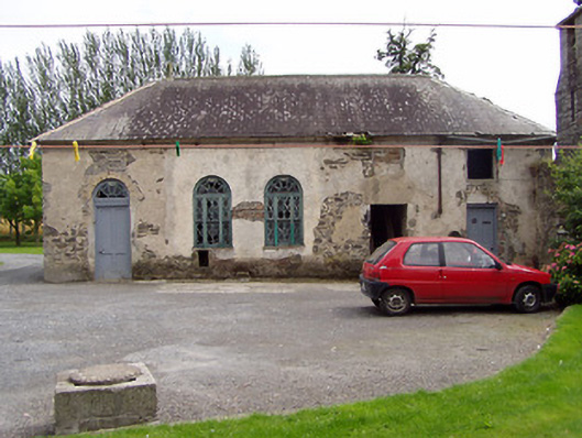 Inch Househouse · 1427 yd
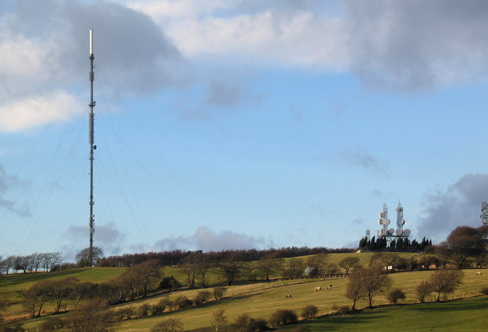 Bawn in AnnfieldBawn · 1.5 mi
 Kilvilcorris BogForest · 1.8 mi
 Pallas HillMountain / peak · 2.5 mi
 KnockaneMountain / peak · 3.2 mi
 Cormackstown Heritage CentreMuseum · 5.2 mi
 European ashEuropean ash · 5.4 mi
 Lár na PáirceMuseum · 5.8 mi
Other information
Photo: Credit not shown in the picture search · Rights wording not checked; contact us if this picture should be removed