
What is recorded here
Half a metre of wall still stands in the rough grass, a small circular shadow on the plateau above the stream. The missing foundation has stolen the doorway, leaving the hut closed to memory and human entry alike. What remains is a stone ring incomplete, holding no fire, no floor, no name.
This monument was reported by archaeologist Tony Miller who describes it as follows: "A circular hut site with a c. 2m internal diameter and collapsed walls remaining to a height of c. 1m. It is in an area of rough grazing on a small plateau some 15m above a stream to the south. It is partially built into a steep south facing slope. Part of the foundations are missing making it impossible to see where the entrance might have been."
Compiled by: Denis Power
Date of upload: 9 April 2014
The monument record does not grant public access. Check the route and ask the landowner before entering private land.
- What survives
- Recorded monument
Places near here
 Enclosure in RoughamEnclosure · 76 yd
 Hut site in RoughamHut site · 397 yd
 Ram's HillMountain / peak · 1182 yd
 Caha SE TopMountain / peak · 1512 yd
 Old Stone CottagesHeritage attraction · 1.2 mi
 DroppaCliff · 2.0 mi
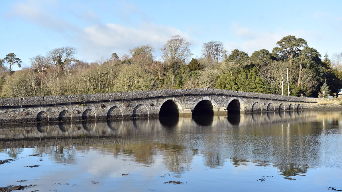 Bridge in Coorannel,derrynafullaBridge · 2.7 mi
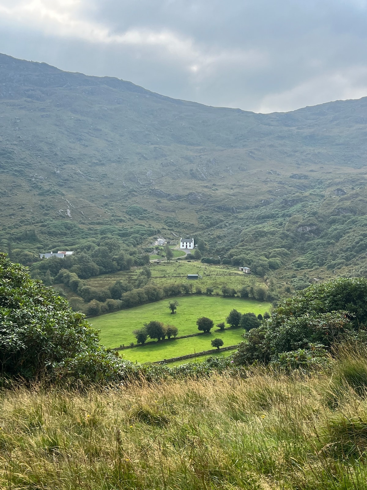 Ahnaclaha BrBridge · 3.1 mi
 Glengarriff WoodsWood · 3.2 mi
 Gleninchaquin WaterfallWaterfall · 3.3 mi
 Gleninchaquin ParkHeritage attraction · 3.4 mi
 Lady Bantry's LookoutViewpoint · 3.6 mi
Other information
Photo: Credit not shown in the picture search · Rights wording not checked; contact us if this picture should be removed