What is recorded here
In rough pasture, amidst numerous rock outcrops. A subrectangular structure (7.4m N-S; 6.2m E-W) with the remnants of a wall (Wth 0.9m; H 0.3m) consisting of intermittent sod-covered stony heaps. Part of a complex of cashels (SL025-015001-; SL025-015002-; SL025-015004-; SL025-015007-; SL025-015008-; SL025-015012-), enclosures (SL025-015003-; SL025-015011-), a possible enclosure (SL025-015005-), and a rath (SL025-015006-).
The above description is derived from the published 'Archaeological Inventory of County Sligo' compiled by Ursula Egan, Elizabeth Byrne, Mary Sleeman with Sheila Ronan and Connie Murphy (Dublin Stationery Office, 2005).
Date of upload: 18 January 2008
The monument record does not grant public access. Check the route and ask the landowner before entering private land.
- What survives
- Recorded monument
Places near here
 Enclosure in RathoseyEnclosure · 343 yd
 IndicatedEnclosure · 498 yd
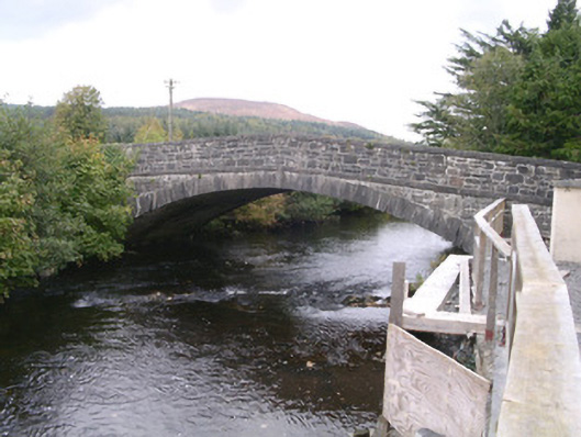 bridgebridge · 916 yd
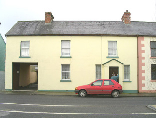 court housecourt house · 1082 yd
 DoomoreMountain / peak · 1514 yd
 Tullaghan HillMountain / peak · 1568 yd
 Moymlough Castle (in Ruins)Castle, tower house · 1.8 mi
 RinnatalleenHeadland · 2.6 mi
 Derinch PointHeadland · 2.9 mi
 Bawn in Tanrego WestBawn · 3.3 mi
 CarrigeenfaddaIslet · 3.8 mi
 Giant's GraveArchaeological place · 3.9 mi