
What is recorded here
Densely-overgrown rath KE045-035---- is located in wet pastureland on a S facing slope overlooking the valley of the Emlagh river. The interior is planted with coniferous trees and the hut-site and Man-made underground passage which occupied the centre of the interior have been interfered with considerably. It was…
Read the whole record
From the National Monuments Service (Archaeological Survey of Ireland) record KE045-035001
Places near here
Photo credits
- Maker not stated on source page, www.irishexaminer.com
- Maker not stated on source page, commons.wikimedia.org
- Maker not stated on source page, www.flickr.com
- Maker not stated on source page, www.pinterest.com
- Maker not stated on source page, www.wildernessireland.com
- Maker not stated on source page, www.arrivalguides.com
- Maker not stated on source page, irlandnews.com
- Maker not stated on source page, focusedcollection.com
- Maker not stated on source page, br.pinterest.com
 Fairy fort / earthen ringfort in RathmalodeFairy fort / earthen ringfort · 1 yd
Explorer Tom Fairy fort / earthen ringfort in Rathmalode started as a bet between two lads in the pub about who could dig the…
 Ogham stone in RathmalodeOgham stone · 1 yd
Explorer Tom Ogham stone in Rathmalode is proud of being a door lintel for an outhouse before ending up in a museum. It’s had more…
 Fairy fort / earthen ringfort in An LuachairFairy fort / earthen ringfort · 504 yd
Explorer Tom Fairy fort / earthen ringfort in An Luachair was run by a matchmaker who only paired off people with matching shoe…
 Fairy fort / earthen ringfort in GlannaheeraFairy fort / earthen ringfort · 832 yd
Explorer Tom Fairy fort / earthen ringfort in Glannaheera caused a massive parish argument about whether it was actually there. The…
 Cupmarked stone in An LuachairCupmarked stone · 843 yd
Explorer Tom Cupmarked stone in An Luachair sits right by the fence, judging your footwear choices harshly. The Vikings got lost…
 Fairy fort / earthen ringfort in Glannaheera,gortbreagogeFairy fort / earthen ringfort · 879 yd
Explorer Tom Fairy fort / earthen ringfort in Glannaheera, Gortbreagoge bragged about surviving a storm that flattened everything…
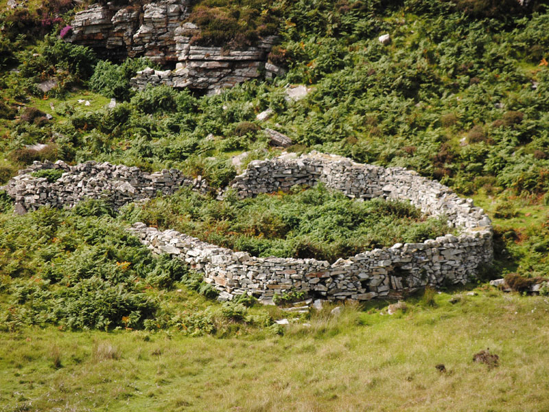 Fairy fort / earthen ringfort in GlantaneFairy fort / earthen ringfort · 1134 yd
Explorer Tom Fairy fort / earthen ringfort in Glantane has an escape plan involving a secret tunnel. The first owner probably ran…
 CastleCastle, unclassified · 1195 yd
Explorer Tom Castle in Cappagh thinks modern buildings are all noise and bad taste, which is fair enough given its age. Pococke saw…
 Kilduff GraveyardCemetery · 1551 yd
Explorer Tom Kilduff Graveyard in County Kerry thinks the road leading here is a bit of a mule, refusing to widen for anyone. It’s…
 Church in RathduffChurch · 1.5 mi
Explorer Tom Church in Rathduff, County Kerry: There’s a local legend about a giant who lived here and used the church stones as…
 Graveyard in RathduffGraveyard · 1.5 mi
Explorer Tom Graveyard in Rathduff built its tombs out of the demolished church next door, which is quite efficient and slightly…
 Church in Baile An Tsagairt (tc Baile An Bhóthair)Church · 1.7 mi
Explorer Tom Church in Baile An Tsagairt bragged about surviving a storm that flattened everything else nearby, but now it’s nowhere…
More archaeology and monuments in County Kerry · All of County Kerry

What do you know about this place?Tap to add a comment or ask a question