What is recorded here
A boulder, measuring .87m x .9m x .1 to .15m thick, lies immediately W of a field fence which forms the E boundary of a farmyard. On its much weathered upper surface are 3 small cup-marks which appear to be artificial though one has been deepened by natural erosion.
The above description is derived from J. Cuppage, ‘Corca Dhuibhne. Dingle Peninsula archaeological survey. Ballyferriter. Oidhreacht Chorca Dhuibhne’ (1986), no. 190. In certain instances the entries have been revised and updated in the light of recent research.
Date of upload: 4 August 2013
Likely dating to the Neolithic or Bronze Age, the cup-marks may have had ritual or symbolic significance, possibly linked to water or fertility practices. Such markings are commonly found across Britain and Ireland, often associated with ceremonial sites or landscape features.
The monument record does not grant public access. Check the route and ask the landowner before entering private land.
- What survives
- Recorded monument
Places near here
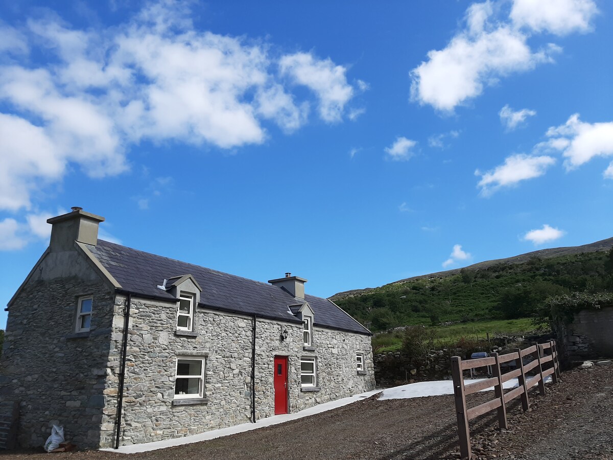 Hut site in Ballynahunt,kilduff (corkaguiny By.)Hut site · 603 yd
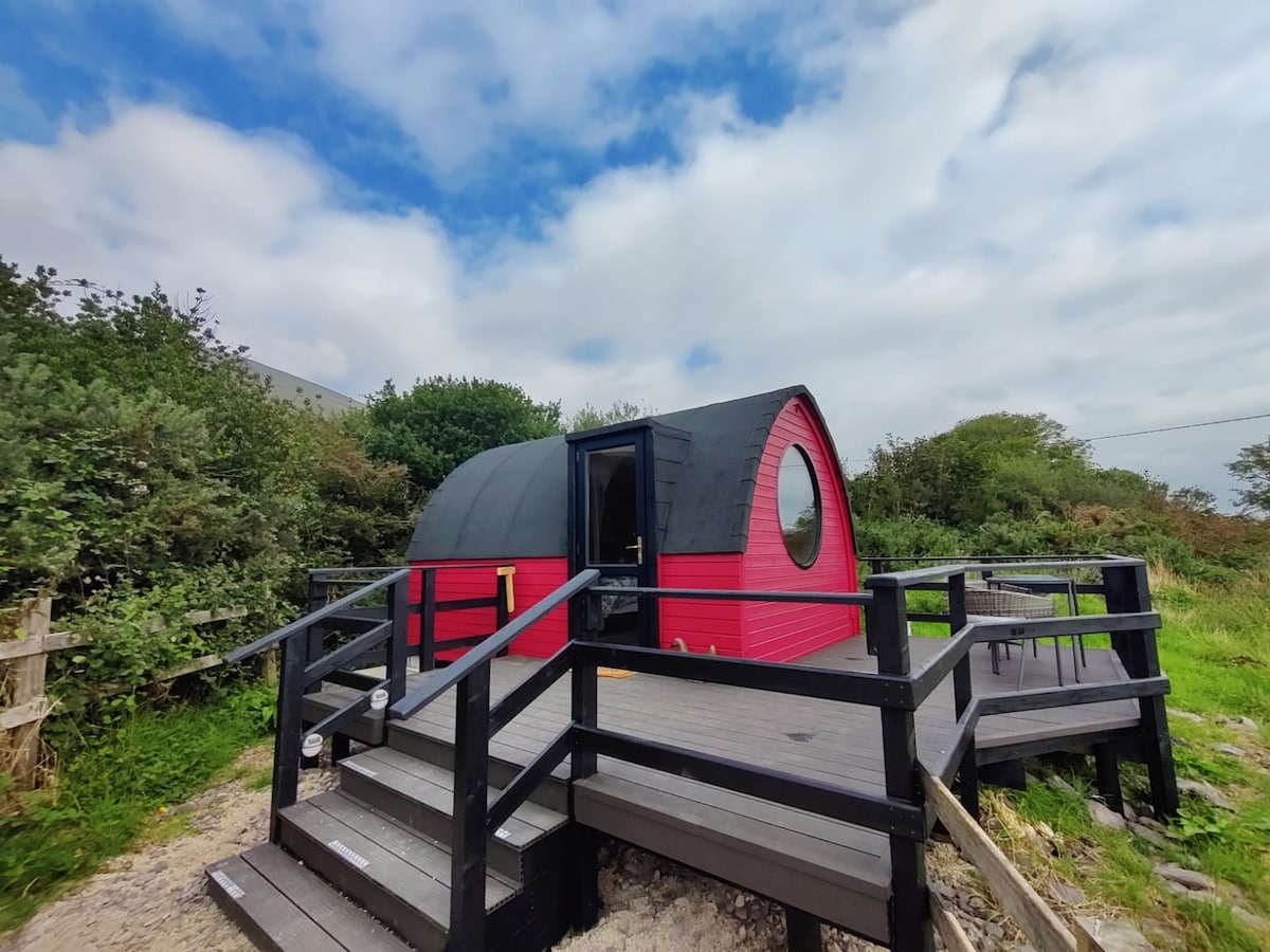 Enclosure in An LuachairEnclosure · 822 yd
 BrickanyMountain / peak · 1.5 mi
 EmlaghMountain / peak · 1.5 mi
 Church in Inch East (corkaguiny By.)Church · 1.9 mi
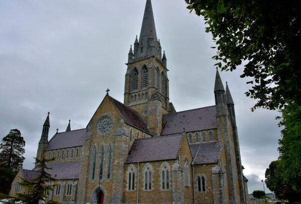 Church in Coill Bhaile Uí FhlaithimhChurch · 3.2 mi
 Glanteenassig Forest ParkForest · 3.3 mi
 Inch BeachBeach / strand · 3.5 mi
 Statue of Our LadyHeritage attraction · 3.6 mi
 Jerome ConnorMemorial · 3.6 mi
 Bunaneer StrandBeach / strand · 3.9 mi
 Graveyard in BallynacourtyGraveyard · 4.1 mi